Itatiaia National Park: The Upper Section
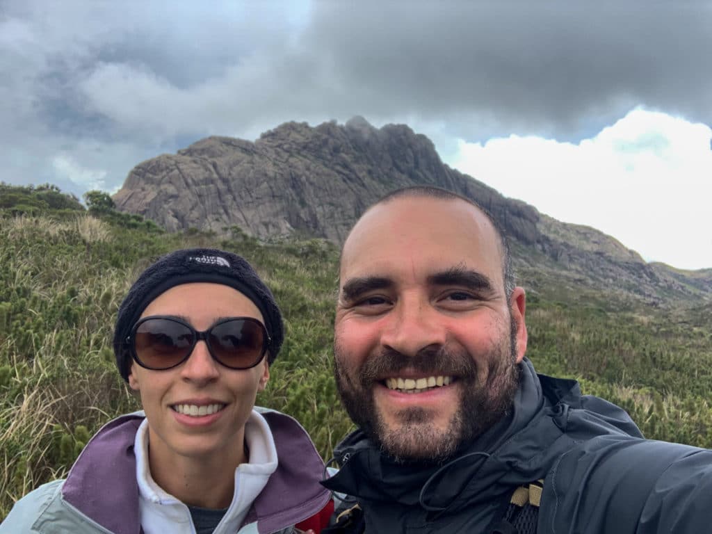
Itatiaia National Park (website) was established in June 1937, making it Brazil’s first national park. Located in the Serra da Mantiqueira, the park spans not just the municipalities of Itatiaia and Resende, both in Rio de Janeiro state, but also Bocaina de Minas and Itamonte in Minas Gerais.
Elevation ranges from 600 to 2,791 meters at its highest point, Pico das Agulhas Negras, the fifth-highest peak in Brazil, according to IBGE.
In the Itatiaia plateau area, also known as the upper section, you’ll find high-altitude grasslands and valleys where several rivers originate.
The lower section, meanwhile, is defined by its lush vegetation and generous waterways, with plenty of spots suitable for swimming.
We visited on January 1, 2021, and again on the Corpus Christi holiday weekend that same year, June 6.
About Itatiaia National Park’s Upper Section
Admission to the park costs money — R$18 per person, plus R$16 to bring a car. For the upper section, tickets must be bought online because of the pandemic. The road up to the park is simply terrible, so a 4x4 vehicle is required.
When you arrive, you’ll need to fill out a form with your name, ID number, the names of anyone with you, and your vehicle information. After that, staff will point you to where to park, and from there, everything continues on foot.
The park has a wide range of attractions, and you can’t do it all in a single day if you’re aiming to summit every peak. Depending on your pace, plan on dedicating about three days to take it slow, or even more, since there are also multi-day crossings available. Those crossings are genuinely interesting, and the routes are listed on the park’s official website.
If you’re interested in hiring a guide in town, I’d recommend a great guide and friend of mine. Her name is Millena Pitanguy, and you can reach her via Instagram or phone: +55 31 9216-7528. I’m sure you’ll be in great hands.
Our Experience at Itatiaia National Park
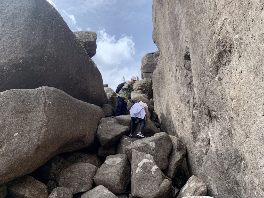
We started with the Trilha dos Cinco Lagos (Five Lakes Trail), which felt pretty easy at first, with beautiful lakes along the way. That is, until we came around one of the hills and the terrain turned to nothing but rock, with slippery climbs that, if you struggle with balance, are hit by rain, or get dizzy with heights, I wouldn’t recommend.
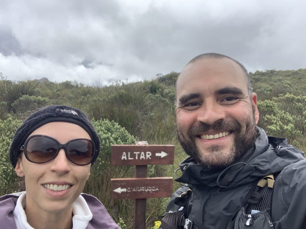
These are large, loose boulders you have to hop between, sometimes jumping, to reach the fork that leads either toward Cachoeira Aiuruoca and Pedra do Sino on one side, or toward Abrigo Rebouças and Pedra do Altar on the other. You can reach this fork by other routes too, but this is the one we took.
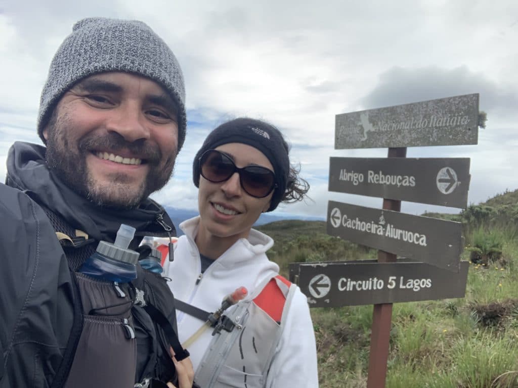
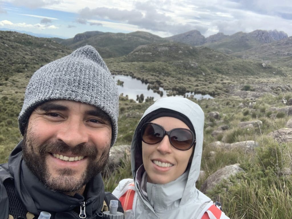
This first trail we took, the Cinco Lagos, was really well marked with totems and red-painted posts, and it was easy to follow — though we’d also downloaded the GPX track to our watch as a backup.
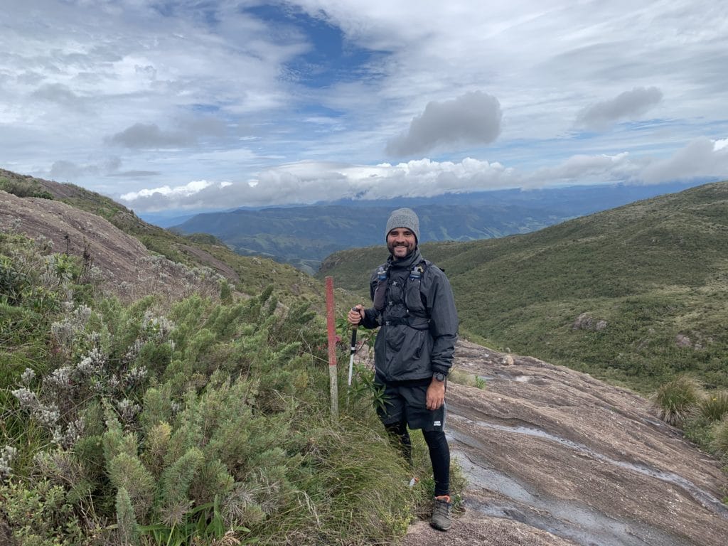
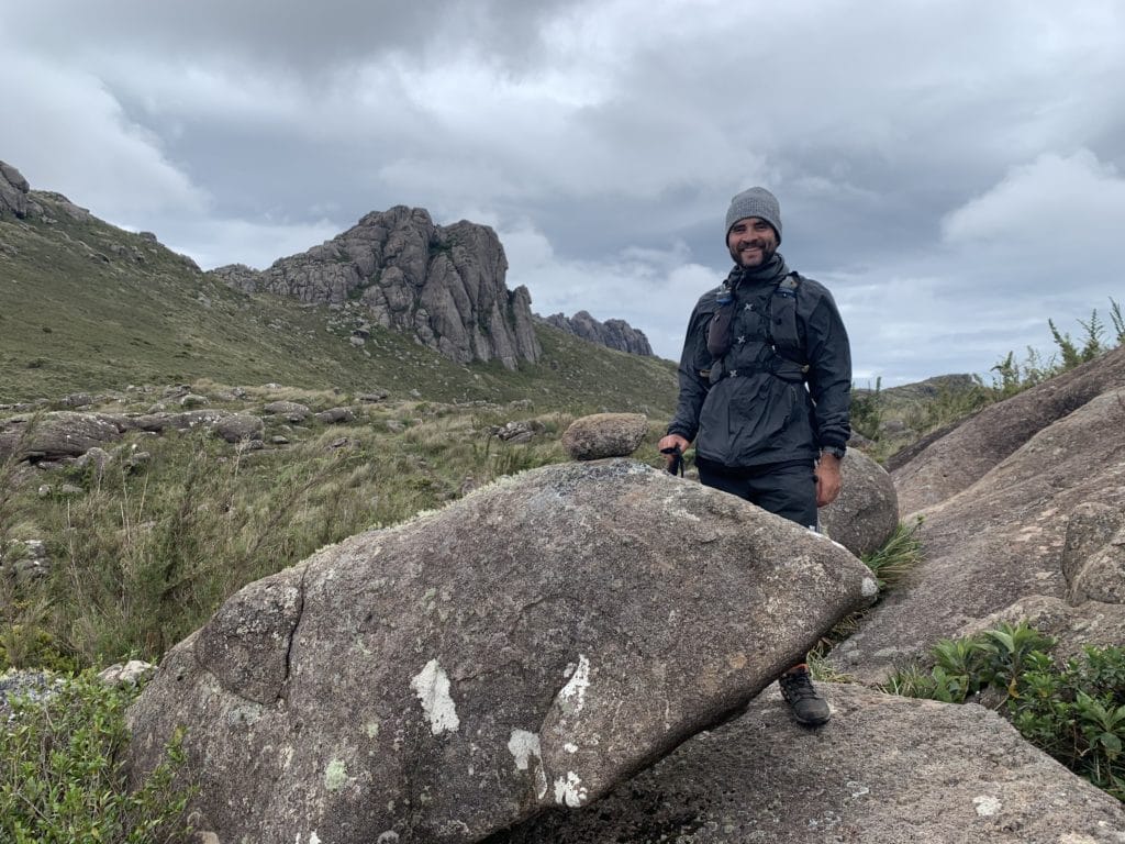
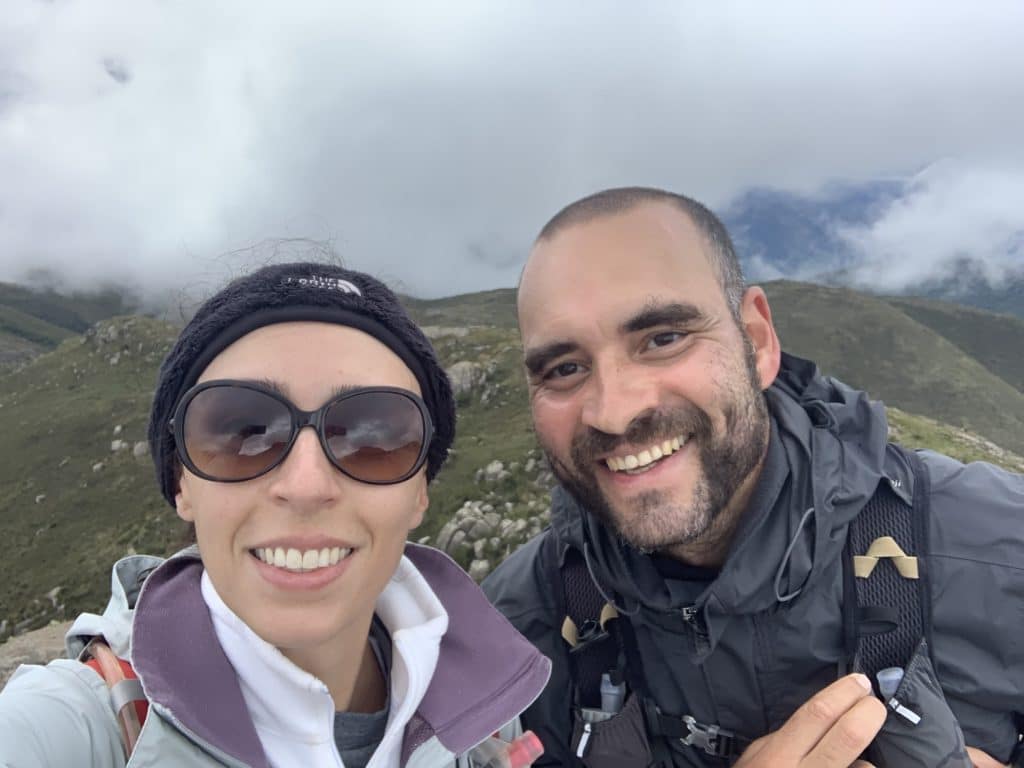
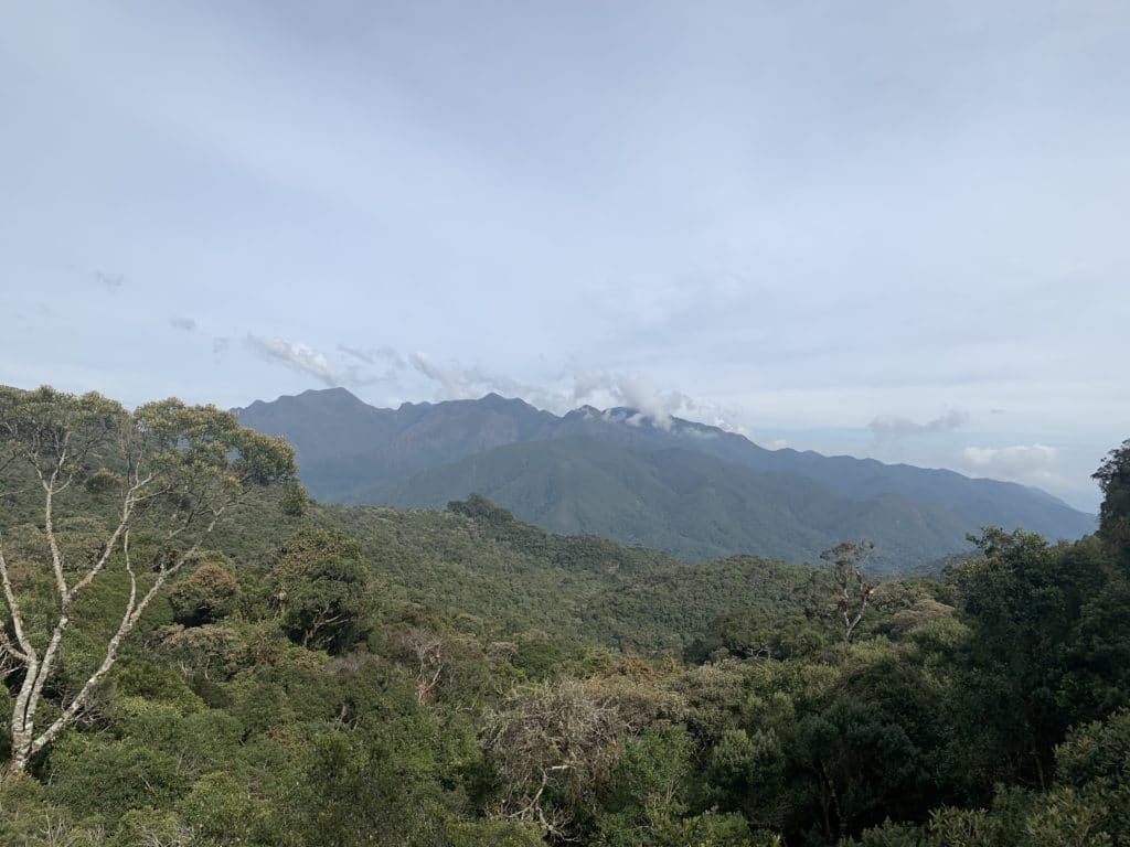
From this area, you can see Pico do Papagaio in the Serra do Papagaio State Park, with Ibitipoca facing it on the other side. I tried taking several photos, but every time I was about to capture the peak, it disappeared into the clouds — I’ll include the photo anyway.
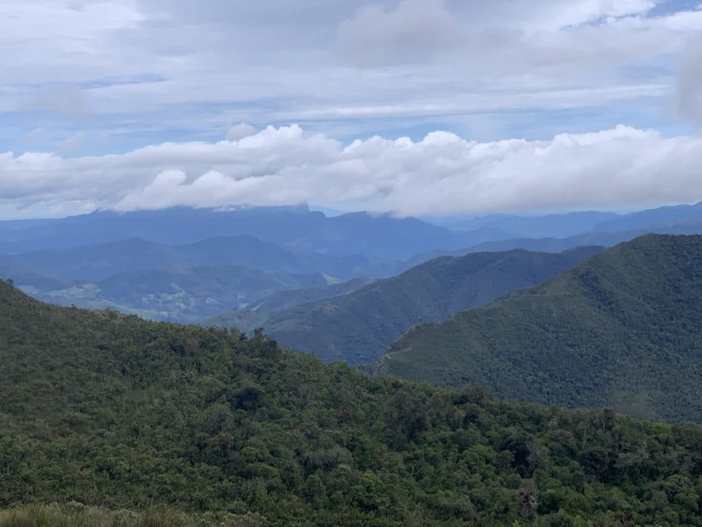
Cachoeira Aiuruoca and Pedra do Sino
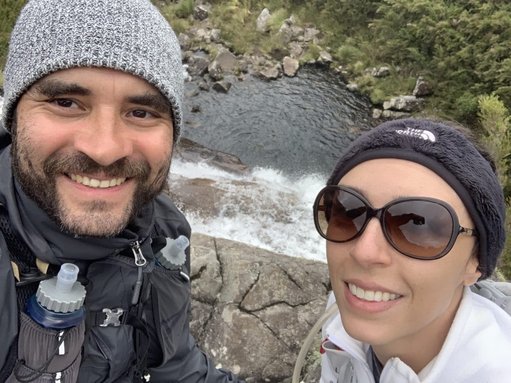
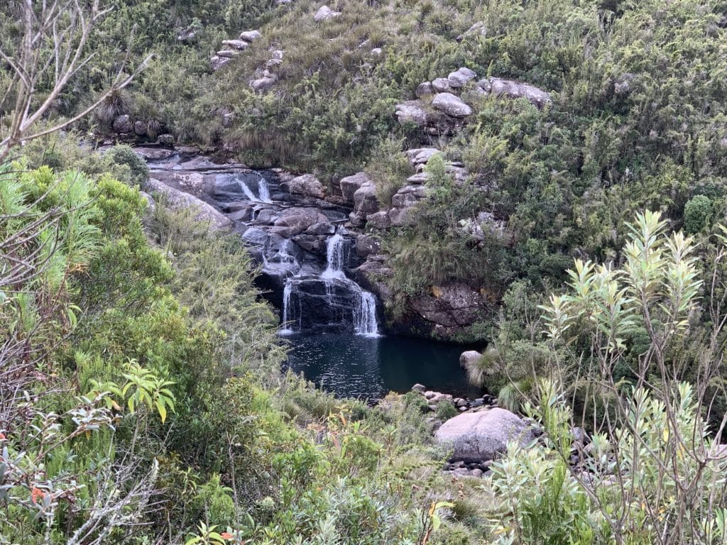
After crossing the boulder field, we took the left trail so we could see Cachoeira Aiuruoca and Pedra do Sino. The trail to the waterfall is well marked and worth the detour. Once you arrive, you end up above it, and we couldn’t find a way down, but it’s beautiful from up top.
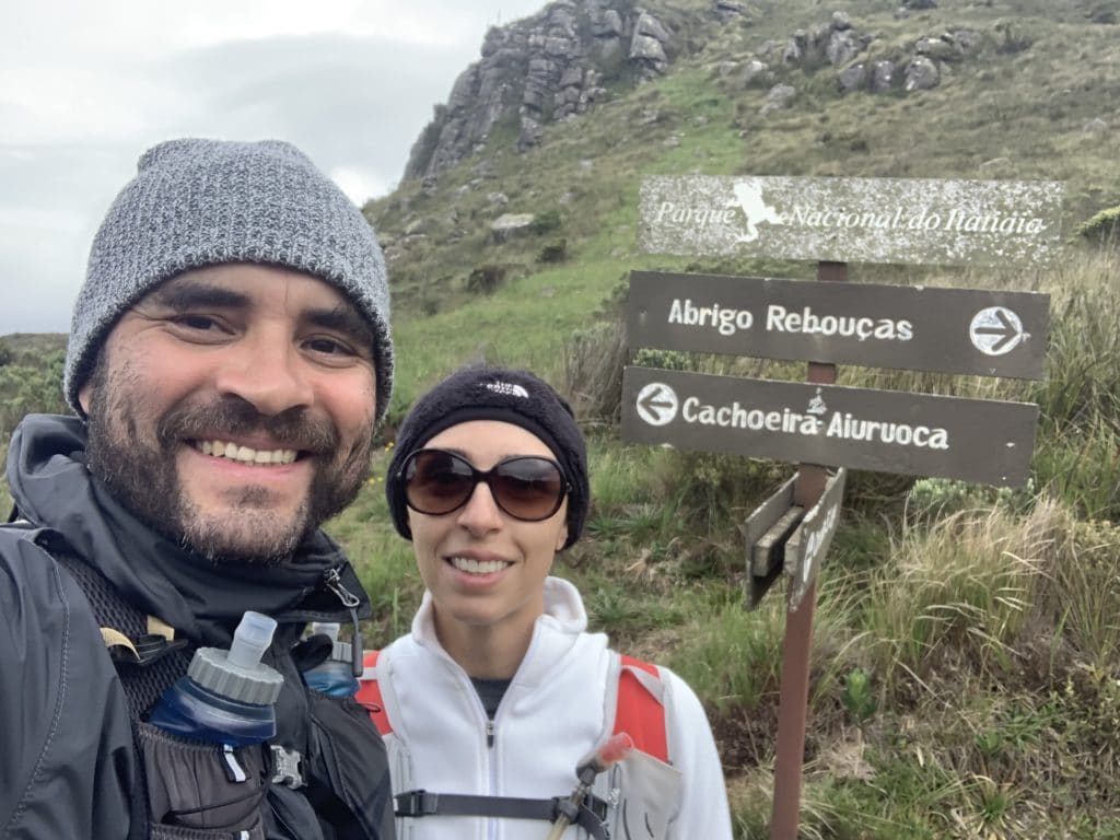
There’s a fork here, with the left branch running about 200 meters to the waterfall, while the right branch leads to the trail toward Pedra do Sino. This one is very poorly marked, the forest is dense, and we even came across a dead animal along the trail.
We managed to navigate using our watch and a few totems that were spaced far apart along the way. In the end, reaching the summit of Pedra do Sino is genuinely thrilling, both for the difficulty and for the view once you’re up there: the back side of Pico das Agulhas Negras rising about 150 meters above you, imposing and striking. There’s a summit log up there for you to sign.
Without a doubt, we were thrilled to reach the top.
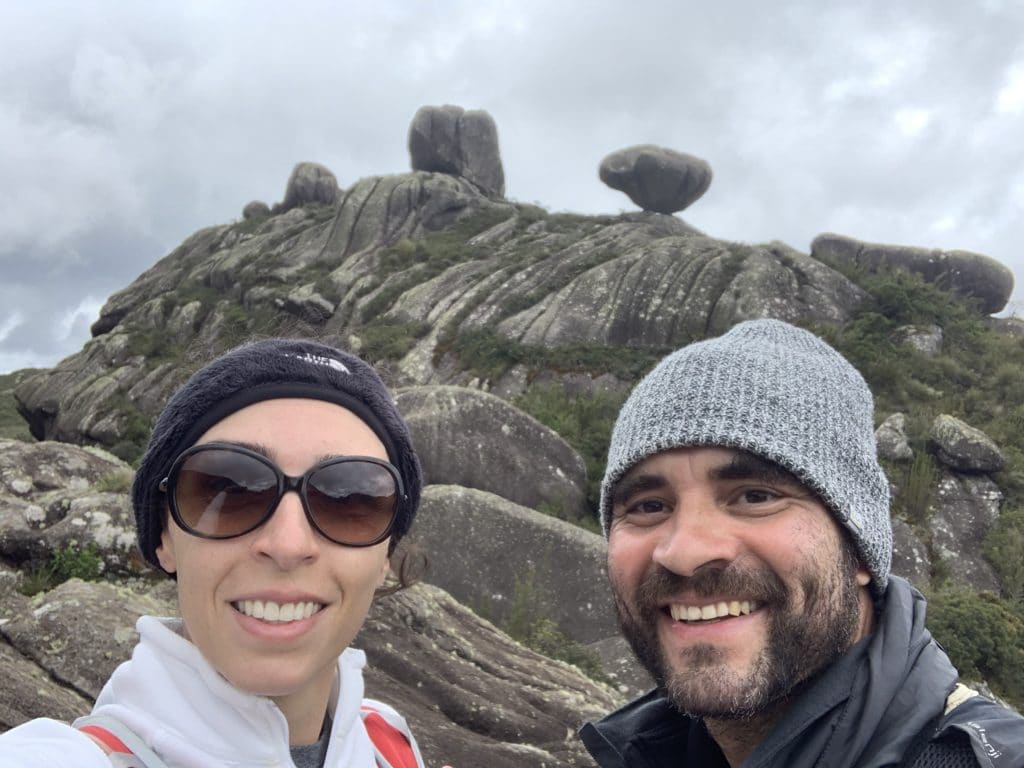
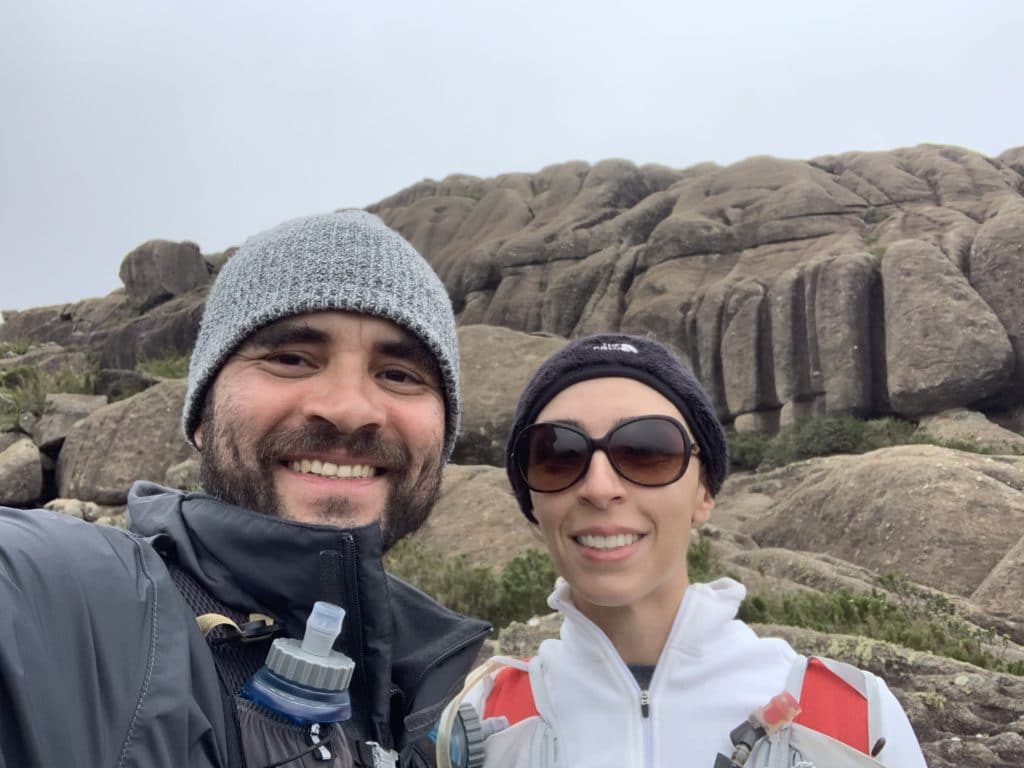
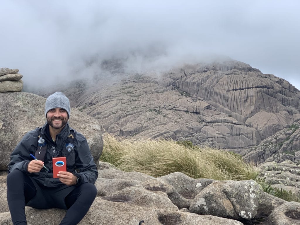
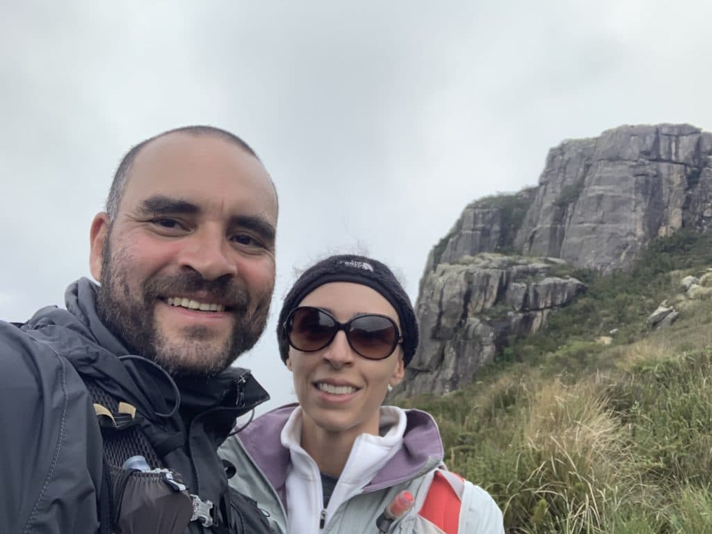
After that, we headed back down and made our way toward Pico do Altar, which is simpler to reach and well marked — the view is sensational, since you end up facing Agulhas Negras head-on, and it was well worth it. Our view of the rest of the park was hampered by the bad weather that day.
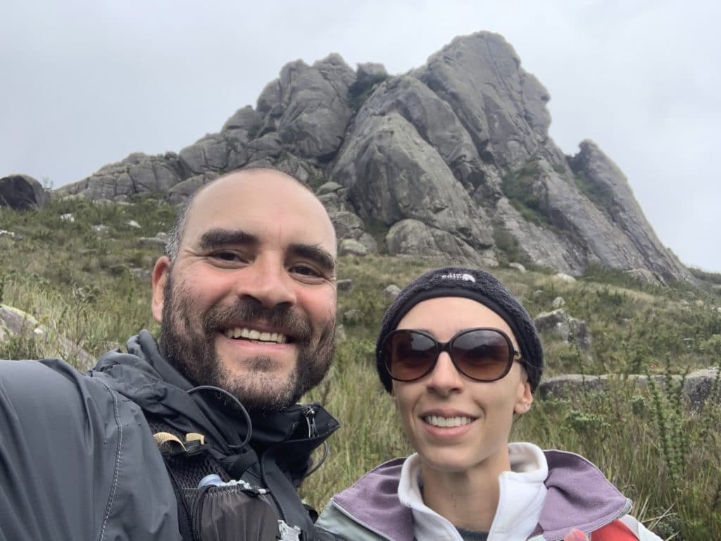
The path to Abrigo Rebouças
After climbing Pico do Altar, it started pouring rain with lightning, so we headed straight for Abrigo Rebouças. Along the way, we spotted Asa de Hermes in the distance and skirted around the base of Agulhas Negras. Right before reaching the shelter, because of the rain, a lake nearby was overflowing, and we had to cross using the rocks, since part of the crossing had turned into a fairly powerful waterfall.
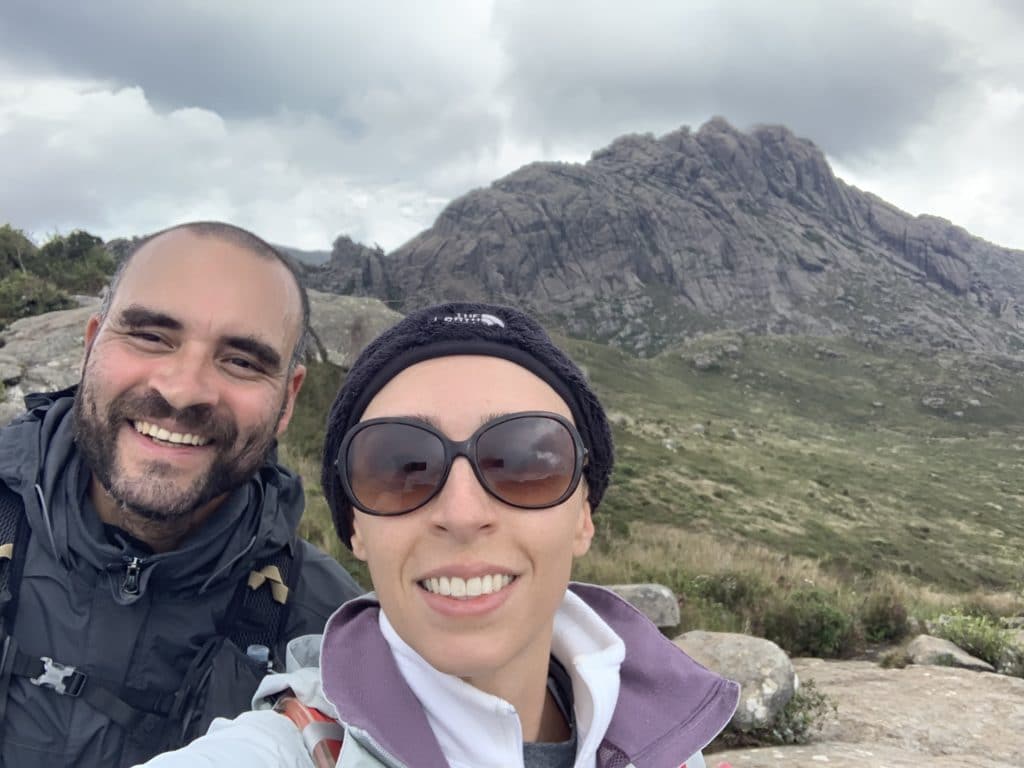
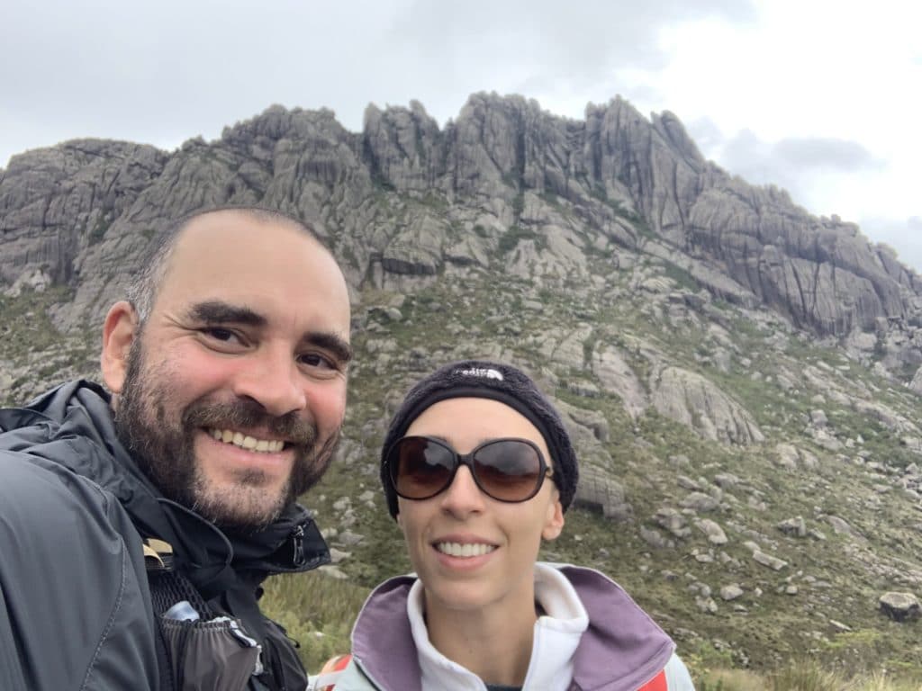
Once we reached the shelter, we headed straight for the gate, since the rain was coming down hard and we decided to save the rest of the park for another day — but I hope this account has helped and inspired you to go explore Itatiaia National Park for yourself.
Track powered by Wikiloc
From Morro do Couto to Maciço das Prateleiras
The last day of the extended Corpus Christi holiday weekend, in 2021, was when we chose to return to the upper section of Itatiaia National Park. This time, we ran a roughly 12-kilometer route starting from the parking lot near the gate, passing Pico do Couto, and then Maciço das Prateleiras.
The first stretch, from the parking lot to the summit of Pico do Couto, is short, at about 2,900 meters, with around 200 meters of elevation gain. That said, the last 200 meters of this section are quite technical, with difficult rocks to scramble over.
At the top, we took in the view of Agulhas Negras and the Serra Fina. Unfortunately, a cloud blocked our view of the Serra da Bocaina, across the Paraíba do Sul River valley. The summit of Couto is Brazil’s ninth-highest, at 2,680 meters.
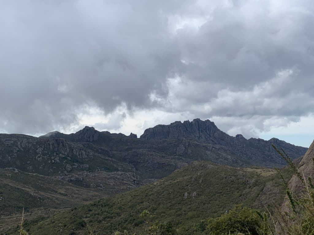
After a few minutes and some beautiful photos, we continued on. Along the way, between some steep descents, climbs, and a few scrambles down, over about 4 kilometers of trail, we reached the base of Prateleiras.
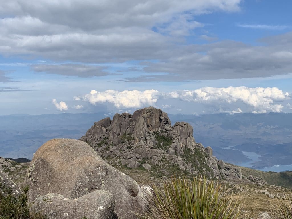
From there, we spotted several people climbing a vertical face of the peak, along with others who suddenly appeared at the summit. We figure they went up the other side, since we couldn’t see well enough to confirm.
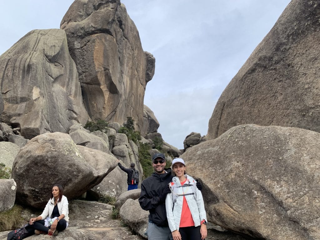
Along the way, between Couto and Prateleiras, we also passed Toca do Índio, a small cave, and finally, on the way back from Prateleiras to the parking lot, Cachoeira das Flores.
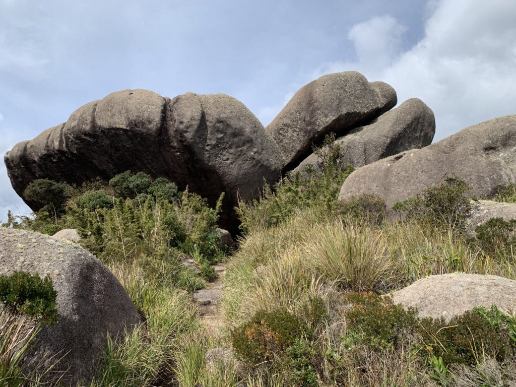
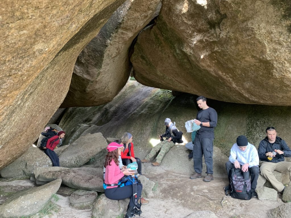
Map and elevation profile
Check out our run on Wikiloc below, and I hope this inspires you to come explore the region for yourself.
Track powered by Wikiloc
Read more about the lower section of Itatiaia National Park.
Read the original version in Portuguese on A Bela e o Bigode.