Itatiaia National Park: The Lower Section
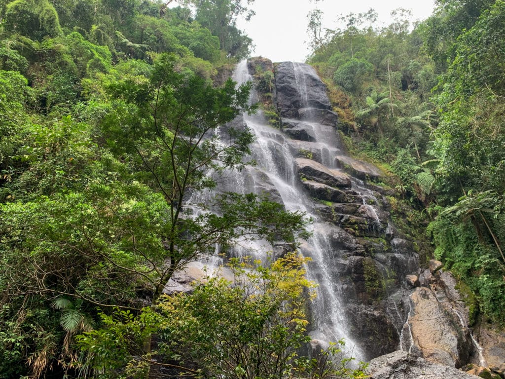
On the last day of our short New Year’s getaway, we headed to the town of Itatiaia to explore the lower section of Itatiaia National Park (website).
The municipality sits in Rio de Janeiro state and can be split into 4 areas, a few of which we’d already passed through: the central district, Penedo, Visconde de Mauá, and Maringá.
Where to stay for the lower section of Itatiaia National Park
We stayed in Itatiaia, and arriving in town, we found a poorly developed area, even a little sketchy at night. A far cry from Penedo which, surprisingly, is actually part of the same municipality and has a genuinely charming little downtown, geared toward tourists.
We stayed at Pousada da Iza, almost right at the park entrance. Our goal was to stay close to the park, but we concluded that staying in Penedo, even though it’s about 20 minutes further, would have been more comfortable.
The inn offers spacious, air-conditioned rooms, plus a breakfast with plenty of options. But as mentioned, the surrounding area feels a bit sketchy, and we felt uneasy waiting to get into the parking lot at night, after dinner.
So, stay in Penedo — it’s much prettier, safer, and only twenty extra minutes by car to the park.
What to do in the lower section of Itatiaia National Park
- Cost: R$18 per person, plus an additional R$16 fee per car.
- Places to visit: Véu de Noiva and Itaporani waterfalls, Piscina do Maromba, the Três Picos trail, Mirante do Último Adeus, Pedra de Fundação, Lagoa Azul, and the Visitor Center.
The lower section of the park offers more easily accessible attractions, since you can get around mostly by car. There are a few waterfalls just a short walk from their respective parking lots, an administrative center, roadside viewpoints, a route up to the upper section, and the option we chose: a roughly 12 km round-trip trail to Três Picos.
Mirante do Último Adeus
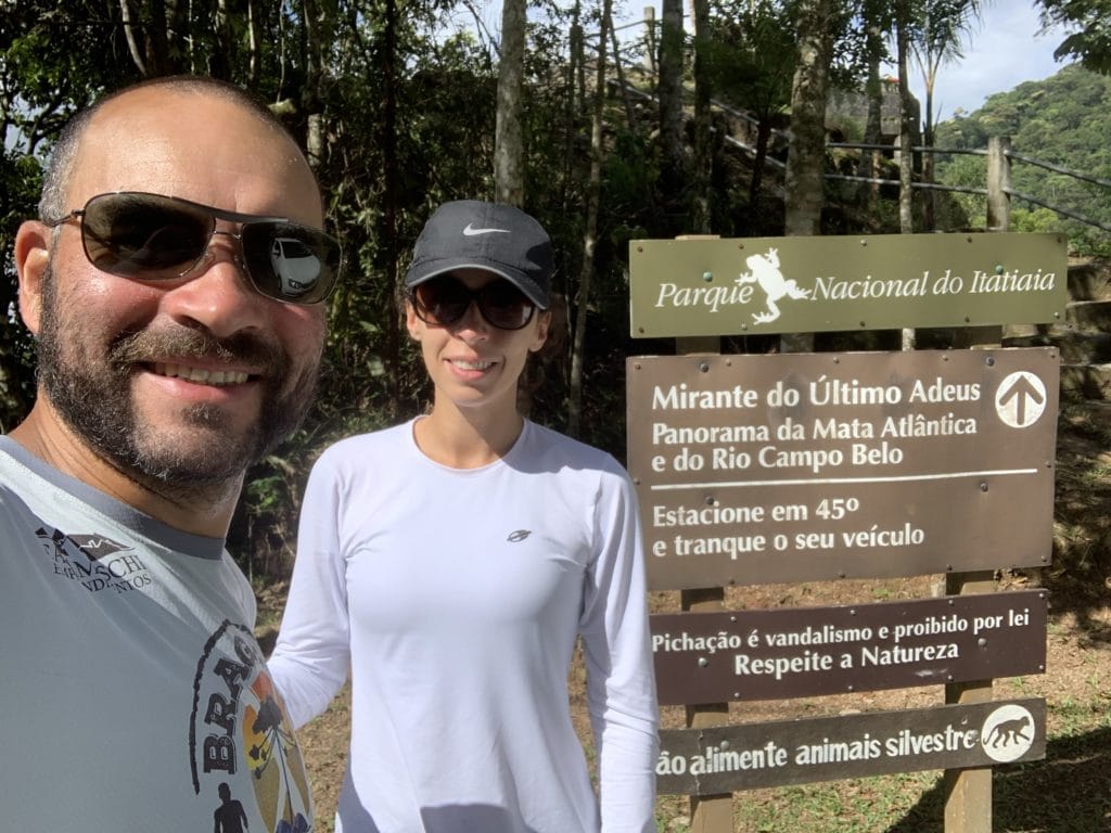
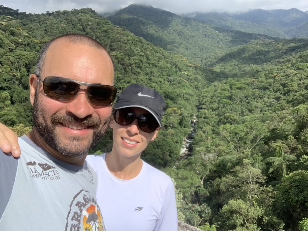
Our first stop was Mirante do Último Adeus, where we made a quick stop for a photo.
A spot surrounded by green mountains with a waterfall right in the middle, as if it were carving the way through. Worth a stop. After this, we headed toward the trailhead, which only allowed entry until 10 AM.
Trilha dos Três Picos
- Difficulty: medium to difficult
- Distance: 12 km (round trip)
- Elevation gain: 899 meters
- Elevation: 1,725 m
- Time: 5 hours (total)
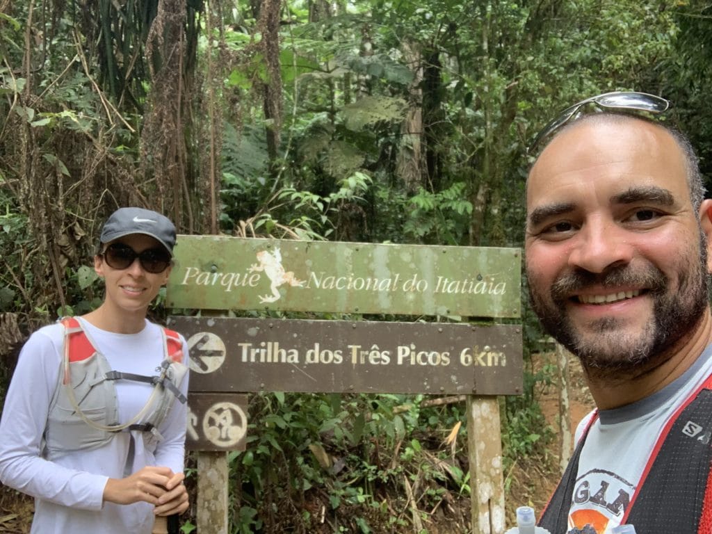
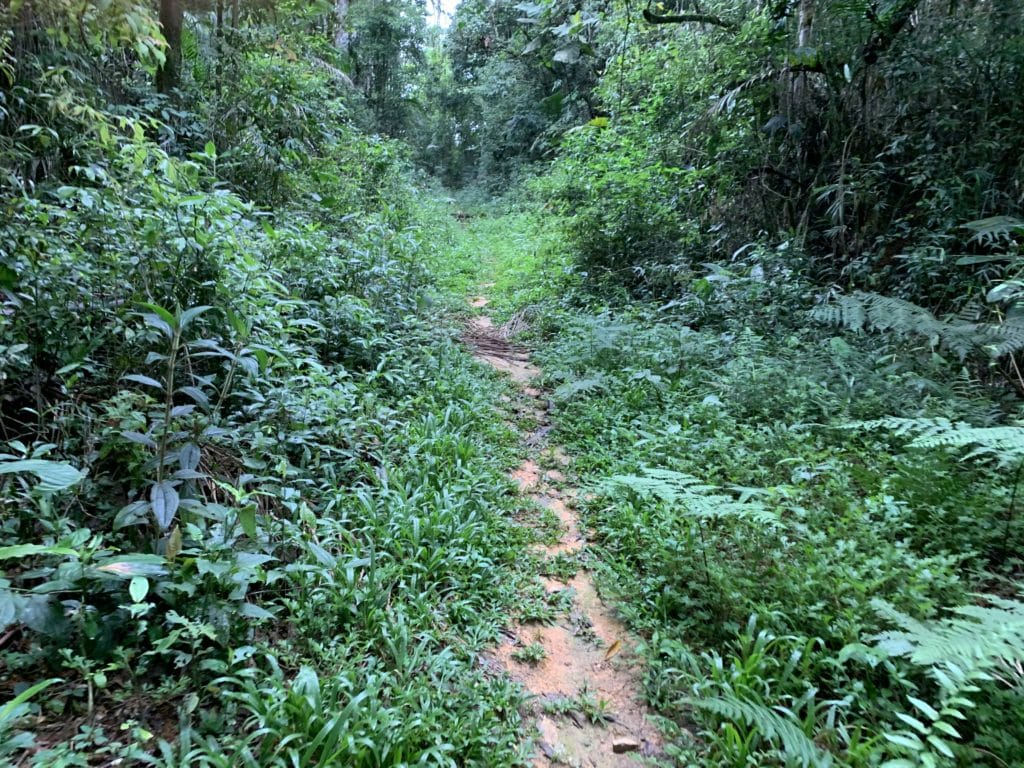
Going in, based on the initial information, the trail wasn’t supposed to be difficult, even with the substantial climbing. According to park staff, it was open and well marked. Completely wrong! We saw very few markers, and to make things worse, a light drizzle followed us for most of the hike and turned heavy toward the end — and with rain over the previous days, several trees had fallen and the trail was more overgrown than expected. So even though there’s an entry fee, proper maintenance clearly isn’t happening.
On top of that, because of the weather conditions, GPS accuracy suffered and kept losing signal. The trail is very overgrown in parts, with some steps so steep even a basketball player would have trouble climbing them.
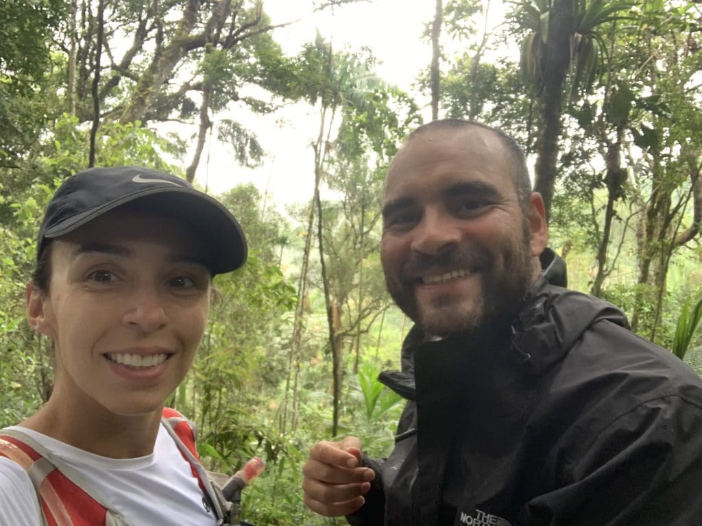
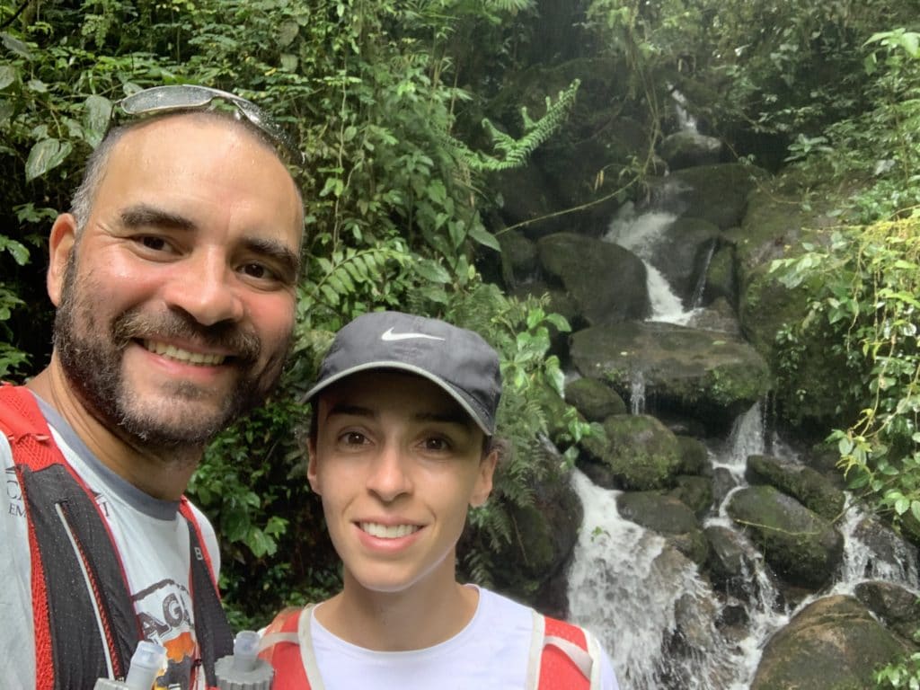
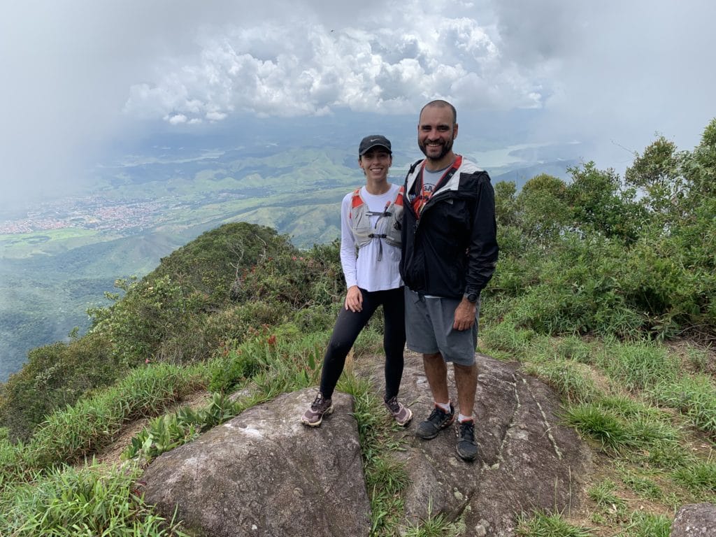
We pushed through these obstacles and got a bit lucky, since the clouds cleared just enough now and then for a few photos. Our hike took about 5 hours total, as mentioned above.
Tips: download a GPX of the route to your watch or phone, to keep your trip safer. Bring enough food and water. And from the top, there’s a bit of cell signal, so you can celebrate reaching the summit with a livestream or a phone call.
Download the GPX for the Três Picos trail, to keep your hike safer.
Track powered by Wikiloc
Waterfalls in Itatiaia National Park
This route can mostly be done by car, along the park’s internal road. But since we wanted to train, we left the car in the parking lot and jogged instead.
Worth remembering: swimming in the park’s waterfalls isn’t allowed during COVID — they’re only for enjoying the scenery and taking photos. All the trails to the waterfalls are easy.
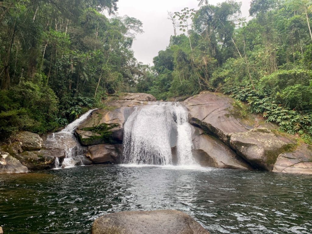
Poranga
After walking through the Visitor Center, we started our jog uphill, and about 1,400 meters in, we hit the trail to Cachoeira Poranga, the first waterfall we visited that day.
Itaporani
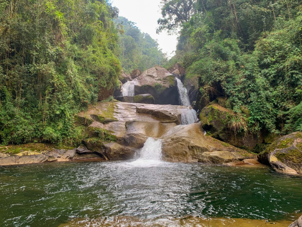
About 4.6 km of jogging from the first waterfall, or 3.5 km if you head straight there from the visitor center, all uphill, we passed two waterfalls, Itaporani and Véu de Noiva. We followed the small trail to a fork and chose to head first to Cachoeira do Itaporani, 640 meters from the Maromba complex.
Véu de Noiva
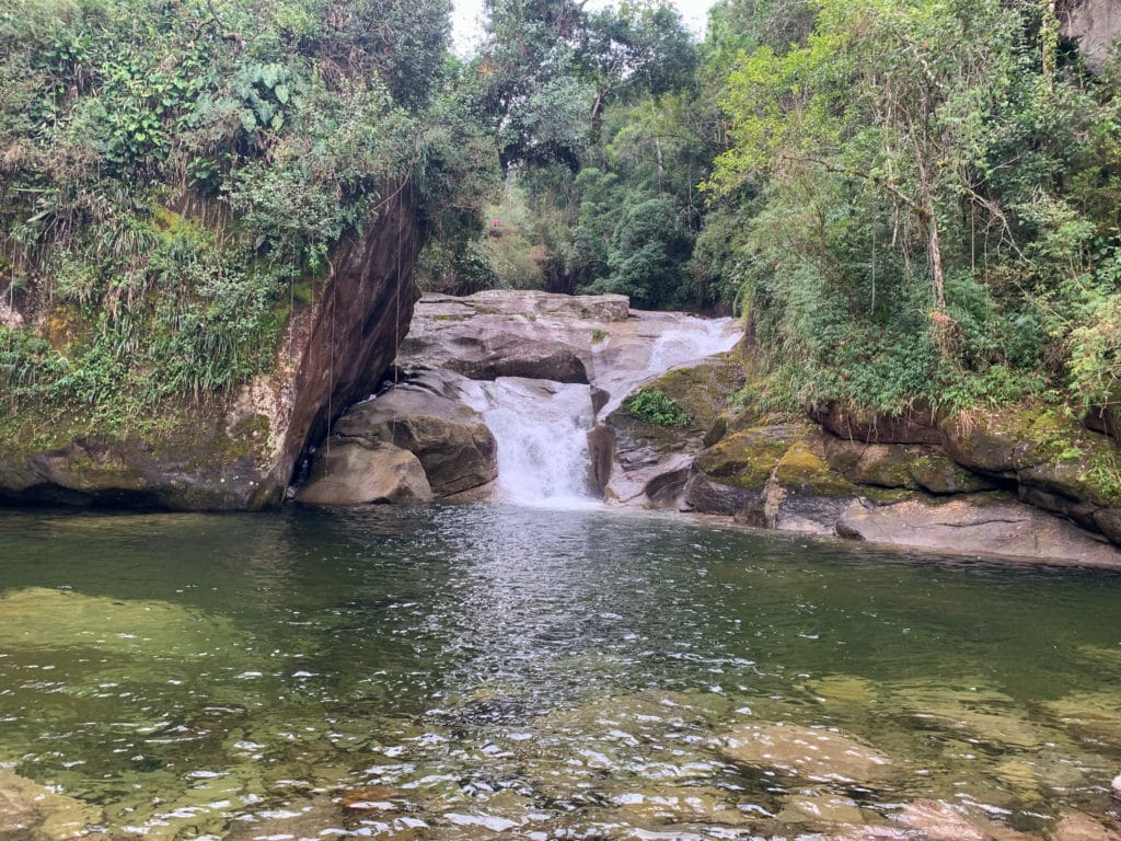
From there, we backtracked to the fork and continued on toward the next waterfall: Véu de Noiva. It sits 380 meters from the Maromba complex, with an impressive 40-meter drop, and it was my favorite waterfall of the trip.
Piscina do Maromba
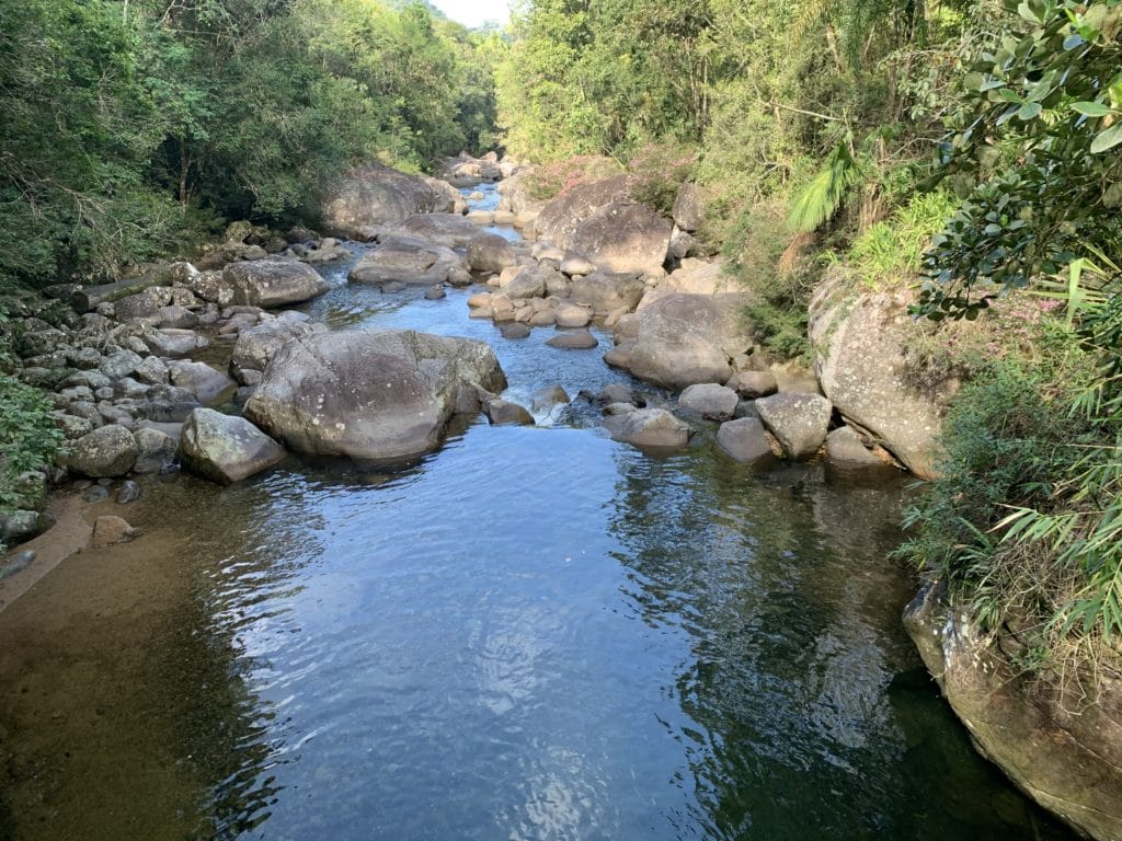
Back on the road, we crossed the bridge. On the other side, there are restrooms, the start of the Ruy Braga crossing, and a short 170-meter trail from the bridge to our next stop, Piscina do Maromba, formed by the waters of the two waterfalls above.
After a few more photos, it was time to head back, so we returned along the road, downhill this time, back to the Visitor Center.
Lago Azul
On the way, we remembered to stop by Lago Azul. Its trail starts right next to the visitor parking lot and runs 600 meters, with 120 steps.
There’s a longer option without steps, but we didn’t take it. Honestly, we didn’t find the spot especially beautiful, but for anyone who wants to see the water up close without much of a hike, this is the best option.
Centro de Visitantes Wanderbilt Duarte de Barros
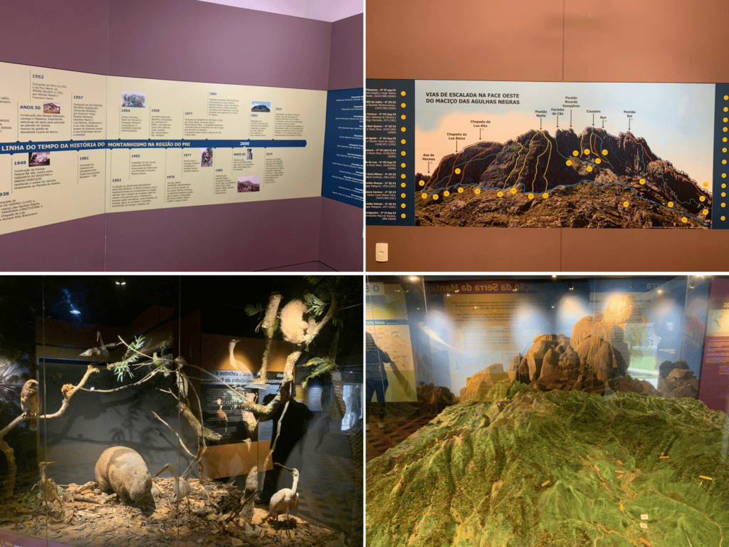
This is the information hub for both the upper and lower sections of the park, covering everything from its founding and planning to major achievements, like the climbs up to the summit of Agulhas Negras and the various routes used to reach the top.
It also has photos of the local flora and fauna, and finishes with a scale model we loved studying to better understand the region. We thought it was well worth a visit.
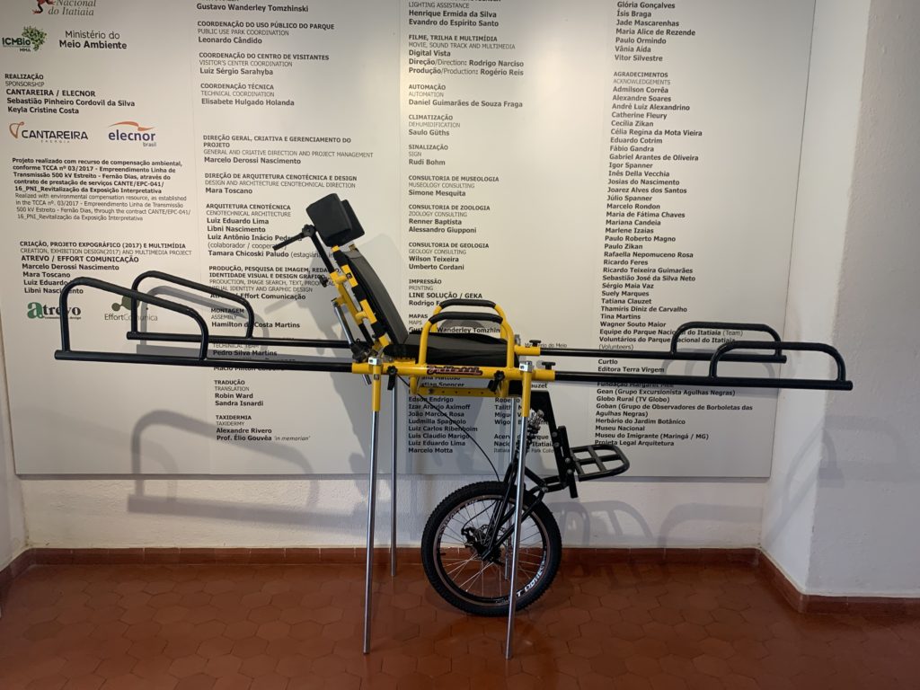
It’s also worth mentioning that both the upper and lower sections of the park are part of an accessibility project for wheelchair users. It’s a beautiful initiative from the group Montanha para Todos, now the Instituto Montanha para Todos, who built Juliette (see the photo below) to help transport people throughout the park. And I’ll proudly mention that I went to school with Guilherme, the mind behind the whole project, and I think both the initiative and his life story are truly amazing.
Hope you find this information helpful and can start planning your own trip to the park!
Track powered by Wikiloc
Read the original version in Portuguese on A Bela e o Bigode.