Itamonte: Trails and Waterfalls
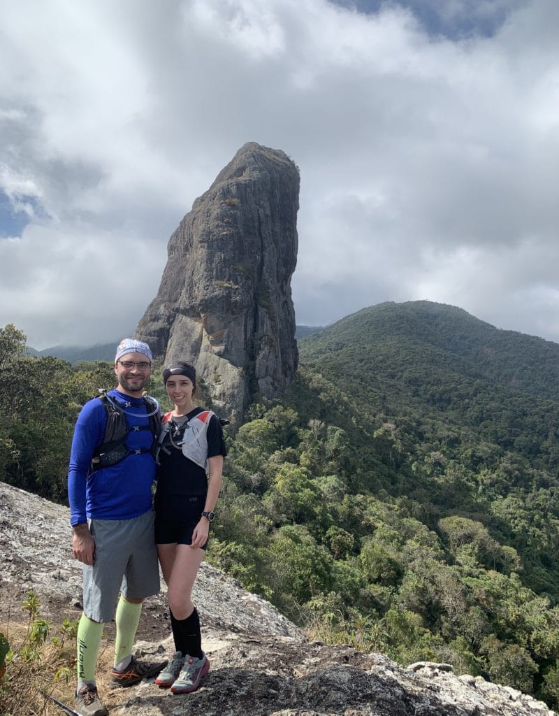
We discovered Itamonte because a friend of ours, Thiago, kept posting gorgeous photos of the town on Strava (the fitness-tracking app), and the town turned out to be genuinely surprising.
Like Passa Quatro, Itamonte sits in southern Minas Gerais, bordering the Serra Fina range and Itatiaia National Park. We spent a weekend in town.
Getting to Itamonte from São Paulo
- Via the Presidente Dutra highway: head to the Cruzeiro exit, then SP-052 to Itamonte — Google Maps route
- Alternatively: Ayrton Senna + Carvalho Pinto + Dutra highways to the Cruzeiro exit, then SP-052 (Dr. Avelino Júnior) to Itamonte — Google Maps route
What we chose: We took the Dutra and made the trip in 4h30m, including traffic and one stop.
Where to stay in Itamonte
We stayed at Estância Rio Acima, which was okay, though the bathroom had no door — which bothered us more than expected — and steam from the shower drifted into the room. Breakfast wasn’t included.
What to do in Itamonte
Pedra do Picu
- Hard trail
- Slippery and steep
- Distance: 6.5 km round trip
- Elevation gain: 630 meters
- Altitude: 1,990 meters
- Free entry and parking
This is where our adventure started — the town’s postcard image, and it’s beautiful seeing the rock formation up close. One important warning up front: there are two trails here, one through the old farm (fazenda velha) and one through the mill (engenho), but the first has been closed for years.
Getting to Pedra do Picu
We’re starting with this because Google Maps routed us through the old farm, and we found a map on Wikiloc showing a trail that turned out to be brutal — the vegetation was extremely overgrown, since no one had used it in over 4 years.
So our recommendation: set your GPS (Waze or Google Maps) to Instituto Alto Montana Serra Fina instead — the trailhead is right in front of it, so there’s no risk of taking the wrong path. We’d suggest parking in front of the Engenho da Serra mineral water factory.
The trail is quite slippery, so bring trail shoes with good grip and trekking poles.
Download the GPX file for the Pedra do Picu trail.
Track powered by Wikiloc
We only managed to keep exploring because our friend Thiago was waiting with the car on the other side. Afterward, we did a driving loop known as the “80 km Circuit” to see the waterfalls. We did it by car, but it’s also a great route for cyclists.
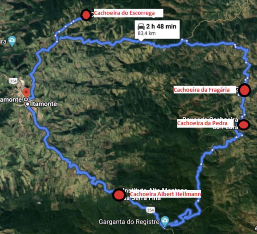
Quick note: the first waterfall would have been Cachoeira Albert Heilman, but it’s inside the institute, so we saved it for Sunday. There’s also Cachoeira da Pedra, on private property, but it remained closed due to COVID-19, so we weren’t able to visit.
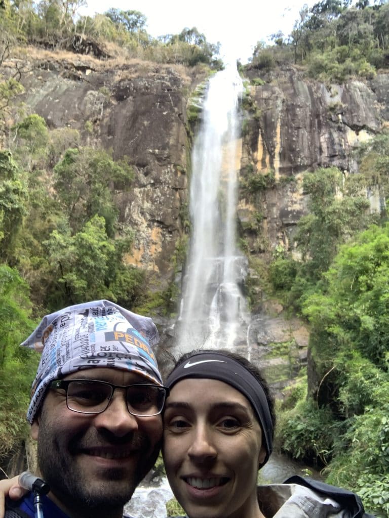
Cachoeira da Fragária in Itamonte
- Viewable from the road or via the trail
- Hard trail
- 100-meter drop
- Distance: 1.2 km round trip
- Elevation gain: 150 meters
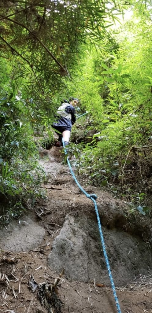
- There’s a rope on the trail to help with the climb up and down
- Free entry and parking
A stunning waterfall, well worth the steep descent to see up close.
Download the GPX file for the Cachoeira da Fragária trail.
Track powered by Wikiloc
Campo Redondo
- Rural village
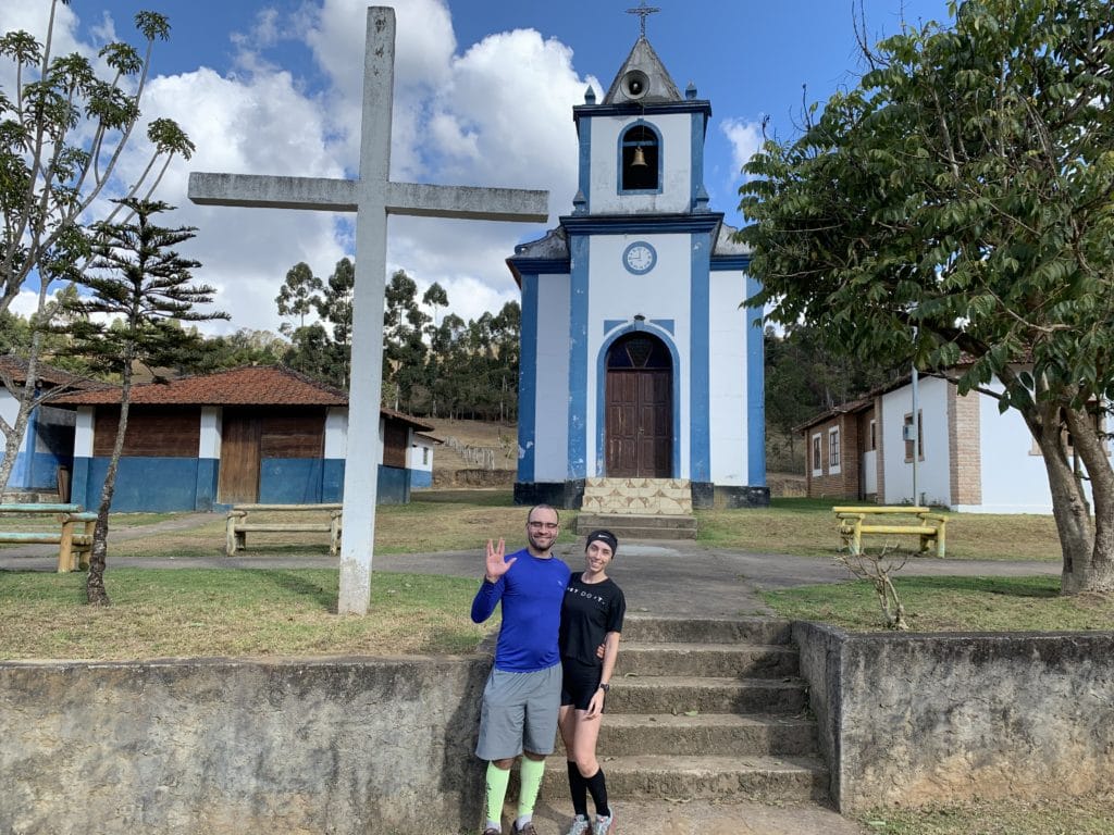
You’ll pass through here, and it’s worth a look — a church, a main bar, and a bandstand.
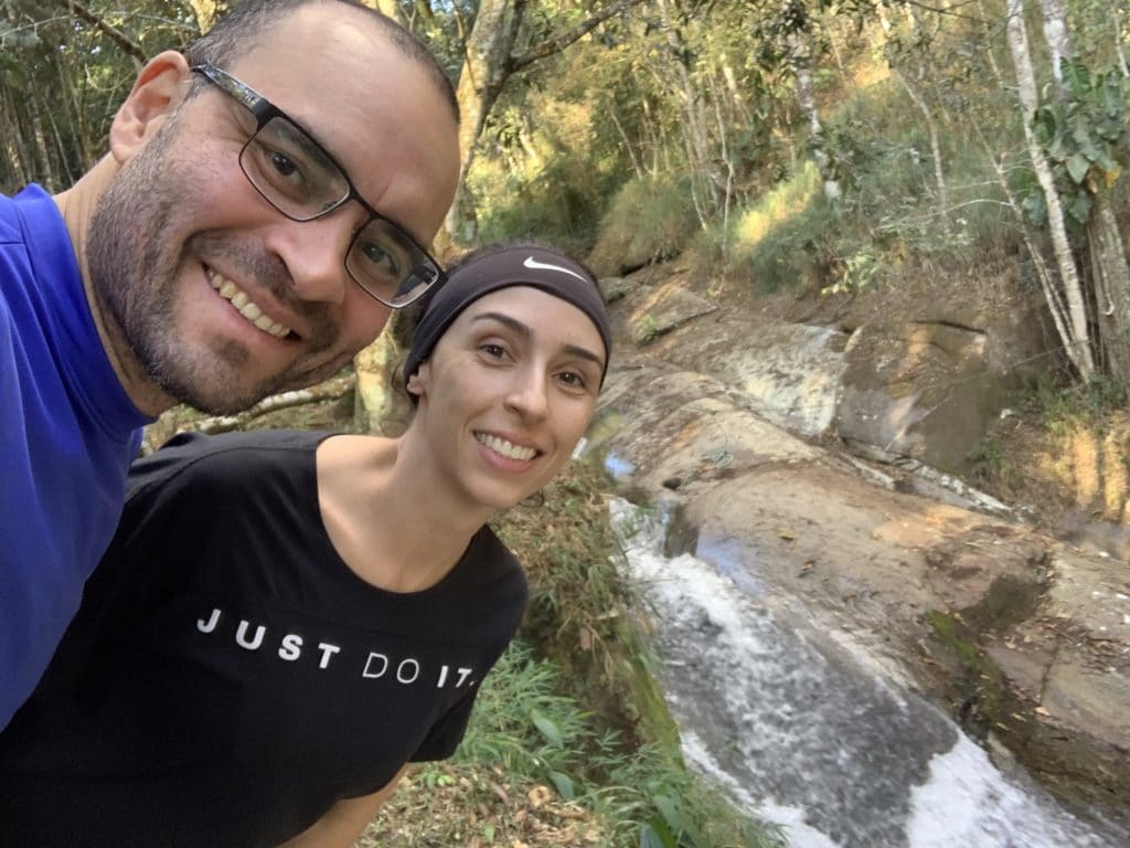
Cachoeira do Escorrega
- Easy, short trail
- Distance: 80 meters round trip
- You can slide down the rock
- Free entry and parking
We didn’t go in, since it was cold and we wanted to catch the sunset at Pedra do Cabrito, but it’s worth checking out.
Pedra do Cabrito
- Moderate trail difficulty
- Distance: 1.2 km round trip
- Elevation gain: 280 meters
- Altitude: 1,720 meters
- Free entry and parking
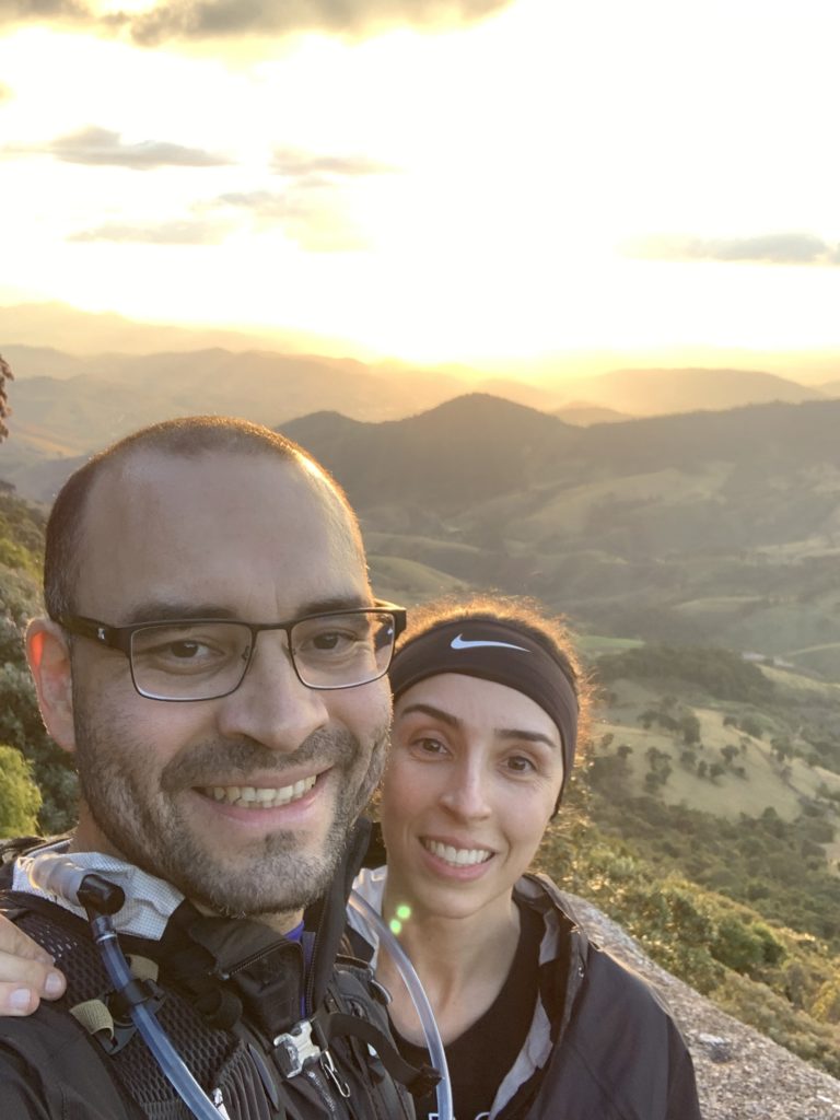
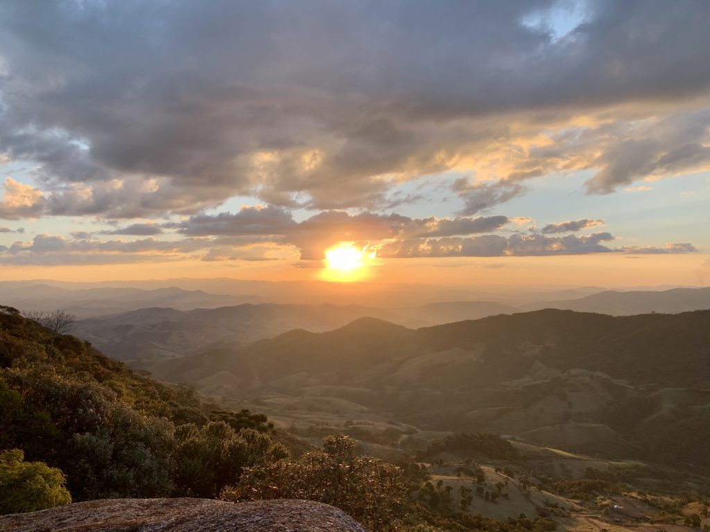
We came here for sunset and loved it, though we headed back down a bit before it fully set, to make sure we still had light for the descent.
Download the GPX file for the Pedra do Cabrito trail.
Track powered by Wikiloc
Pico Santo Agostinho
- Moderate trail difficulty
- Distance: 8 km round trip
- Elevation gain: 660 meters
- Altitude: 2,380 meters
- Free entry and parking
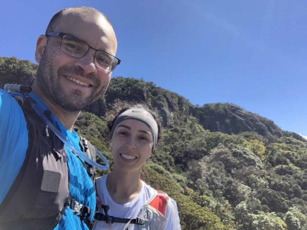
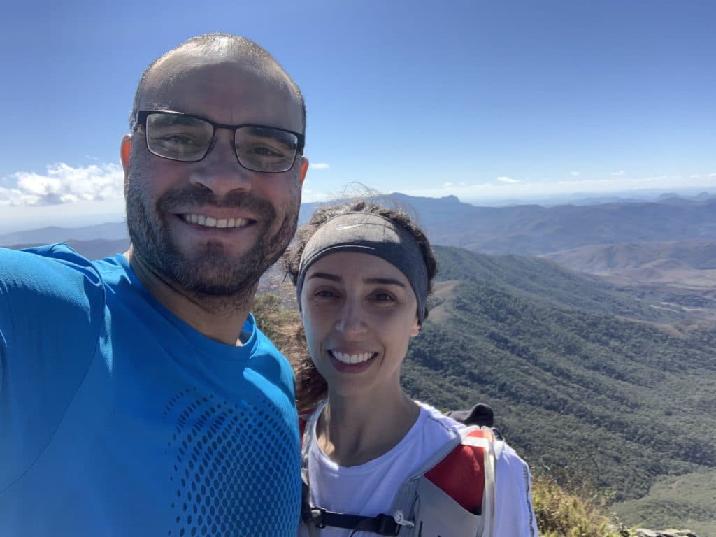
We thought this was simply the most beautiful peak of the whole trip — from up there, you get views of Serra do Papagaio State Park and Itatiaia State Park. It’s located in Alagoa, a town near Itamonte, about an hour’s drive away.
Download the GPX file for the Pico Santo Agostinho trail.
Track powered by Wikiloc
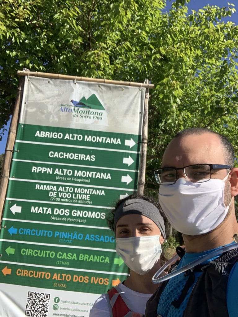
Instituto Alto Montana da Serra Fina
- Private property
- R$20 per person
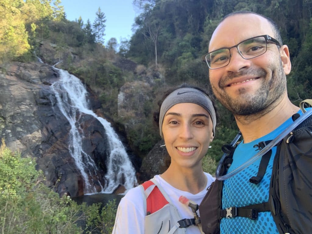
- Three different distances: 3.5 km to see the waterfalls (Pinhão Assado circuit), an 11 km circuit (Casa Branca), and a 21 km circuit (Alto dos Ivos)
- We were running short on time, so we did the short loop
- The waterfalls are beautiful, though none as tall as Fragária
- A private nature reserve (RPPN) protecting the local ecosystem
A well-maintained, easy-to-navigate spot — just follow the colored trail markers for whichever route you choose. Worth spending the whole day here, and there’s a beautiful deck for watching the sunset.
Download the GPX file for the Blue Trail at Instituto Alto Montana.
Track powered by Wikiloc
Other tips
There’s also Pedra Furada in town, though we didn’t have time to visit. And if you need a local guide — for the town, Itatiaia National Park, or even Pico dos Marins — reach out to Millena Pitanguy, who helped us with tips and directions. Phone: +55 31 99216-7528.
Read more about our adventures in the region in where to eat in Itamonte and the Serra Fina half traverse.
Read the original version in Portuguese on A Bela e o Bigode.