Capim Amarelo: Gateway to the Serra Fina
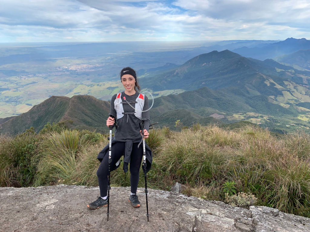
Capim Amarelo, in the town of Passa Quatro, is the gateway to the Serra Fina range. Its summit sits at 2,570 meters (8,432 feet) above sea level, though for some reason it doesn’t make the official lists of Brazil’s highest peaks.
The name (“yellow grass”) comes from the golden color the summit takes on in the fall, when its low grassy vegetation dries out.
That might be because it shares the region with two even taller peaks — not just Pedra da Mina, but also Pico dos Três Estados — all part of the area known as Serra Fina.
Getting to Passa Quatro
From São Paulo:
- Dutra highway to the Cruzeiro exit, then SP-052 (Dr. Avelino Júnior) to Passa Quatro — Google Maps route
- Ayrton Senna + Carvalho Pinto + Dutra highways — Google Maps route
Pros and cons:
- Dutra (244 km / 3h55m) — fewer lanes, more trucks, fewer tolls.
- Ayrton Senna (252 km / 3h36m) — more lanes, fewer trucks, more tolls; similar time and distance overall.
What we chose: We took the Dutra highway and made the trip in 4h30m, including traffic and one stop.
Capim Amarelo
See Capim Amarelo’s location on Google Maps.
- Located in the Serra Fina range
- Altitude: 2,570 m (8,432 ft)
- Mountain season in Brazil: May through September
- Trail difficulty: hard
- Distance: 9 km round trip from Toca do Lobo
- Elevation gain: 1,125 m (3,691 ft)
- Parking and entrance: free
This was our very first trip together, which is why it’s our very first post. We went with the TRB team (Trail Runners Brasil), led by Marcelo Sinoca, and it turned into a special outing since it fell during Brazil’s “Festa Junina” season. We celebrated with Andrey’s crew — mountain views, a bonfire, mulled wine (quentão), hot dogs, and canjica corn pudding, just to give you an idea.
In short, Capim Amarelo is a set of peaks right on the border of the São Paulo, Minas Gerais, and Rio de Janeiro states. The easiest access point is the town of Passa Quatro, in Minas Gerais (careful — don’t confuse it with Santa Rita do Passa Quatro!). Count on roughly 500 km on the main highways to get there.
You can hike it outside the official mountain season, but you’re more likely to run into rain, and if you head to a waterfall you could get caught in a flash flood.
Capim Amarelo: our recommendations
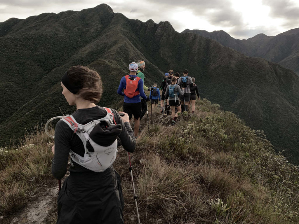
First — and this applies to every trail we do — we always carry a running vest with 1.5 liters of water per person, food, and a basic first-aid kit. Consider those non-negotiable.
Second, depending on the forecast, we bring an anorak (waterproof jacket) and rain covers. They’re not mandatory, but we use them every time — you’ll notice them in the blog photos.
Wear trail shoes with good grip so you don’t slip. Andrey recommends gloves too, since they protect your hands if you grab a thorny plant or take a fall.
Our experience
Just for the record: on the way to Toca do Lobo, the trailhead, one of our tires blew out — of all things, from hitting a rock. So tip number two: bring a spare tire on a trip like this, and use a 4x4 if you can.
The dirt road to Toca do Lobo is rough and full of loose rock, so things like this can happen.
Capim Amarelo: the climb to the summit
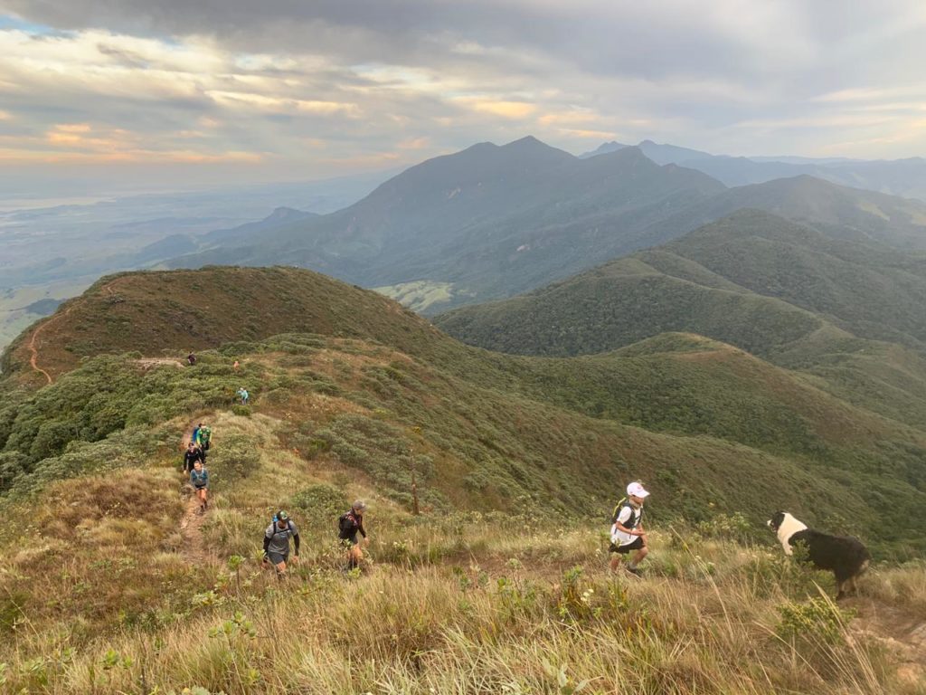
How long it takes to reach the top depends on your pace — we pushed hard and made it up in 2 hours. Along the way there’s tall vegetation (you can barely see the person in front of you) and a rocky section with a fixed rope to help you up — personally, the toughest part, especially on the way down.
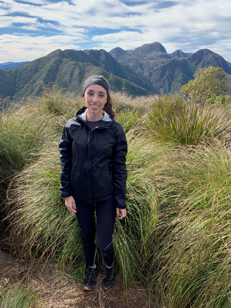
At the summit there’s a logbook to sign. We find that really special — it leaves a record of your visit, and it’s also used to track how many people hike the trail. We’ll mention these summit logbooks often in future posts.
The hike is all uphill to the ridge, so you can actually run parts of it — my favorite section. The descent, though, I leave to Andrey; that’s where my technical skills fall apart.
On the way back, we finally changed the tire. It wasn’t easy — tight space, and always the risk of the car sinking into the dirt — but it worked out in the end. Phew!
Track powered by Wikiloc
Read the original version in Portuguese on A Bela e o Bigode.