Pico do Itaguaré: Serra da Mantiqueira
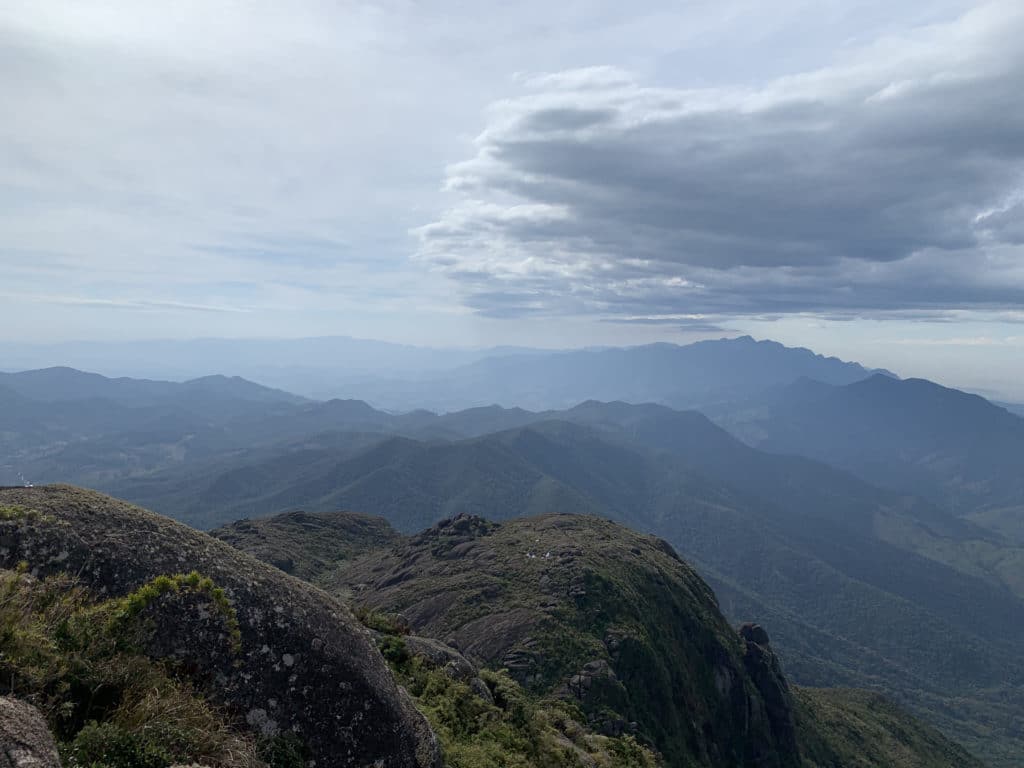
Pico do Itaguaré is a rock formation in the Serra da Mantiqueira. It sits right on the border between São Paulo and Minas Gerais states, and it’s one of the ten tallest mountains in São Paulo, at 2,308 meters.
Admission is free, and there’s no gate or regulating body on site, so we’d recommend hiring a local guide so you don’t get lost — given the technical difficulty, you may also need a hand along the way. Never go alone!
Getting There:
Once again, we stayed at Casa de Pedra, in Passa Quatro, Minas Gerais, and our guide was Charles Llosa, the owner and local guide.
From Passa Quatro to Itaguaré, the road is unpaved, and it took us an hour and thirty minutes to reach the parking lot — so we’d recommend a 4x4 vehicle and an early start.
The Trail to Pico do Itaguaré
The route to the summit runs 4 kilometers, almost entirely uphill. The way back covers the same distance, this time with gravity on your side — though that doesn’t necessarily make it easier, since the ground was slippery and it’s hard to climb down over the rocks in some very steep sections.
The trail starts as a single track through tall vegetation. In the second part, you’re walking over rocks, and since it’s more exposed, we’d recommend plenty of sunscreen and a cap for sun protection. That said, depending on how strong the wind is, watch out for your cap blowing away.
Along the way, make a stop at Pedra da Caveira for a beautiful view! It’s about 1,900 meters from the parking lot, still in the first section, off an easy-to-spot turnoff on the right.
Second Half of the Trail to Pico do Itaguaré
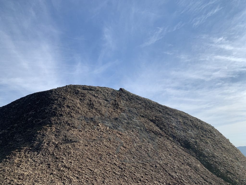
Once the wooded section ends, you start seeing Pico do Itaguaré and its rock formations.
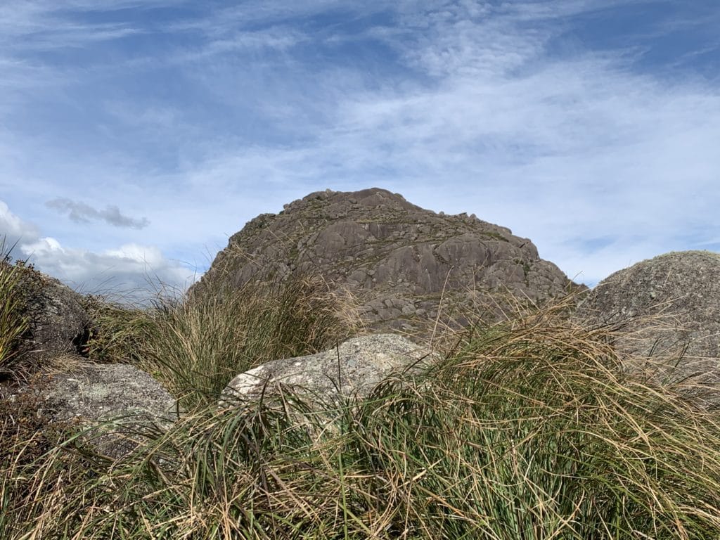
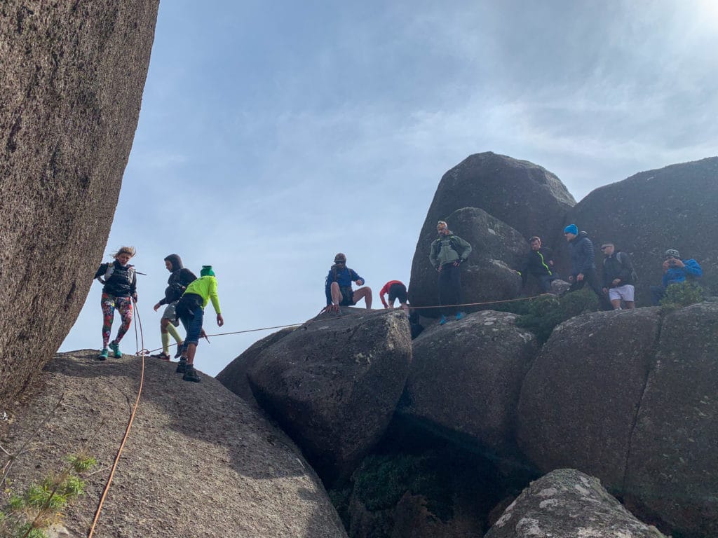
The climb isn’t easy. You need to be in good shape, and there are many exposed sections with sheer drops to navigate, so real caution and preparation are required to reach the summit.
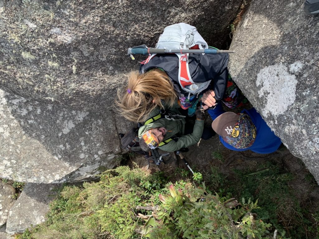
One section, a narrow crevice, is among the most dangerous parts, since there’s a cliff on both sides, and the rope there isn’t permanently fixed — it was set up by a guide who happened to be there that day.
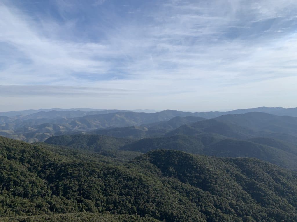
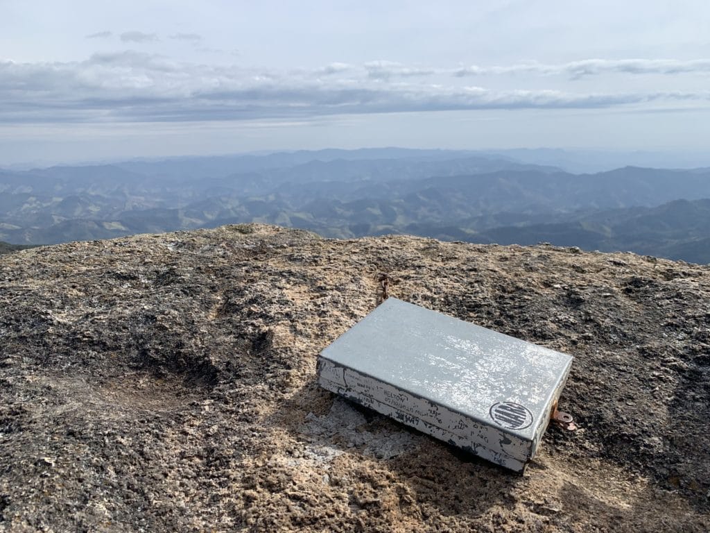
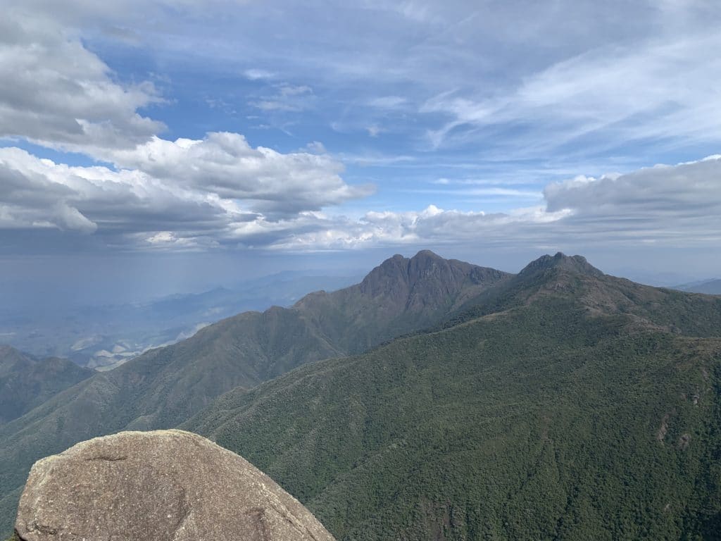
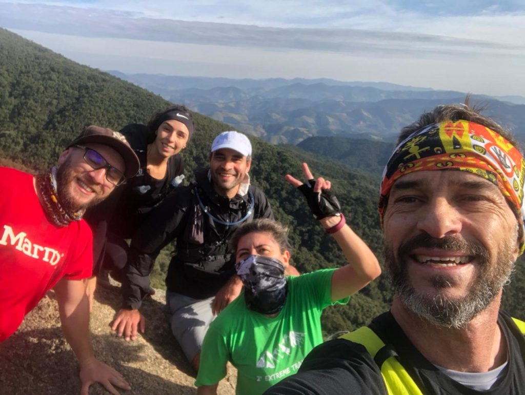
At the top, there’s a summit log to sign. The day we went, it was quite windy, but the view was wonderful — we could pick out surrounding towns like Cruzeiro, Lorena, and Guaratinguetá.
The descent is also tricky, since there are several high, slick rock sections, so help is often needed along the way.
Finally, We Reached the Summit of Pico do Itaguaré
What matters on the mountain is taking in the view and pushing past your limits along the whole route! Going with people you trust and enjoy being around matters just as much.
A lot of people camp overnight here, but we did it as a day trip up and back — with our stops, the whole thing took about five hours, roughly three and a half hours of actual moving time.
Hope you enjoy the trail as much as we did! And don’t forget to pack out your trash, and from nature, take only photos and memories!
Track powered by Wikiloc
See more about our trails in Praia do Rosa.
Read the original version in Portuguese on A Bela e o Bigode.