Estrada da Graciosa: One of Brazil's Most Beautiful Roads
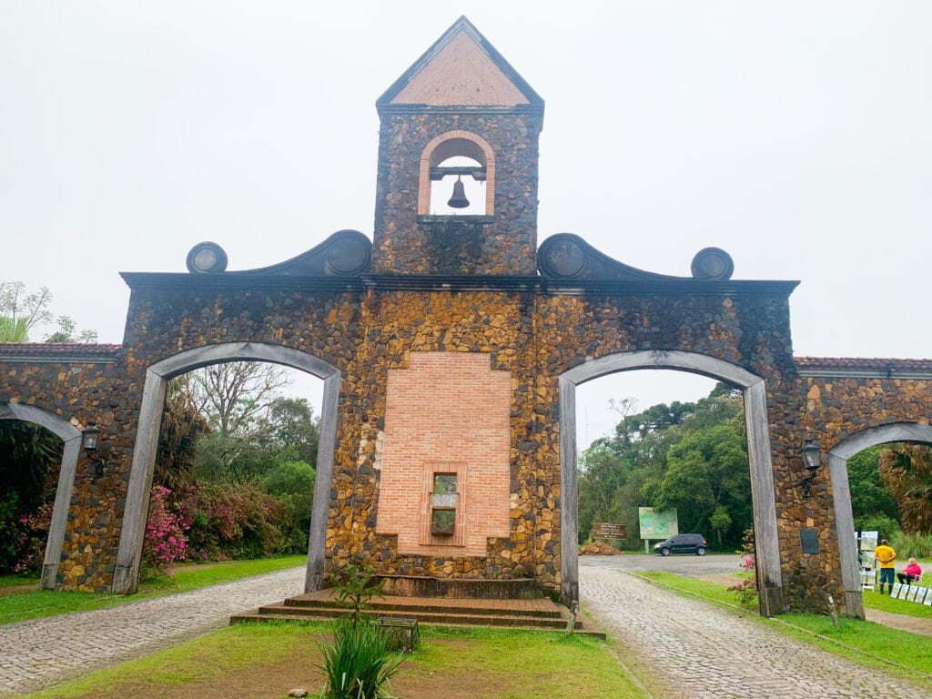
Highway PR-410 is one of the most beautiful roads in Brazil, and it’s called Estrada da Graciosa (TripAdvisor). The route crosses Paraná’s Serra do Mar, connecting the cities of Curitiba, Morretes, and Antonina.
We booked a tour with Jyuli Tour, and when we went to buy tickets, there weren’t any spots left for the descent from Curitiba to Morretes — only spots on the train going up. So we took a van down, about an hour and a half, and rode the train back up.
Unfortunately, our guide was terrible, with no stops or explanations about the area along the way. So here’s everything I researched myself, along with tips on what to look out for along the route — and we’d suggest looking into a different tour company, since this one was poor, with rude, disorganized owners.
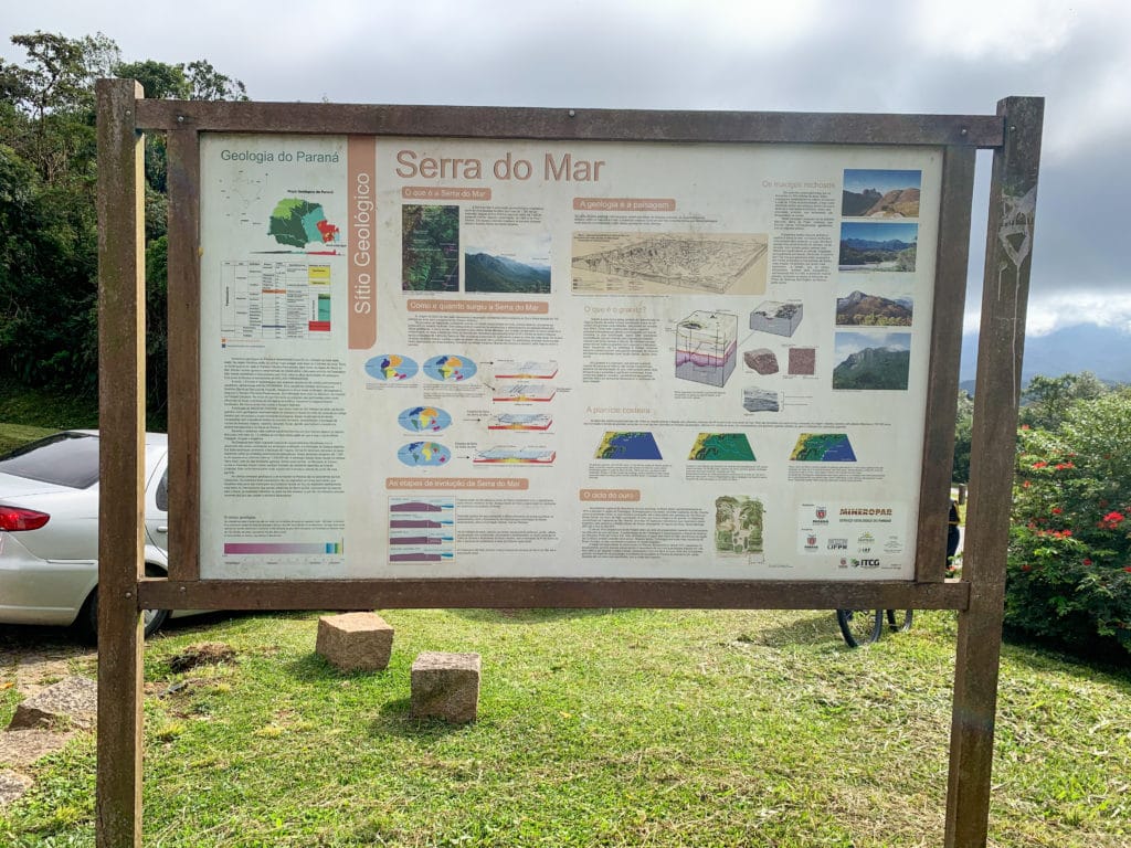
UNESCO, in 1992, designated the region an Atlantic Forest Biosphere Reserve, and it’s home to two equally important state parks: Parque Estadual da Graciosa and Parque Estadual Roberto Ribas Lage.
The road got its name for its resemblance to a region in the Azores, Portugal.
Getting to Estrada da Graciosa
From Curitiba, take the BR-116 for about 40 km and take the exit at km 59, marked with a sign reading Estrada da Graciosa. Continue until you reach the Portal da Graciosa, where the drive begins through mountain scenery and waterfalls.
History of Estrada da Graciosa
Estrada da Graciosa runs about 30 km, a historic road and one of the first routes connecting to Paraná’s coast.
According to official records, the Caminho da Graciosa dates back to 1721, when Indigenous peoples used it to gather araucaria pine nuts.
Construction began in 1854, after the creation of Paraná Province. It wasn’t completed until 1873, becoming the first road in Paraná built for people, vehicles, and animals to travel on.
The road originally started where the Shopping Müller mall now stands, in downtown Curitiba.
It was built by connecting five colonial-era paths: Graciosa, Itupava, Arraial, Picada dos Ambrósios, and Cubatão, linking Paraná’s coast to its interior.
The road is quite winding. In the past, tropeiros (mule drivers) used it to transport coffee, yerba mate, and timber to the ports of Paranaguá and Antonina.
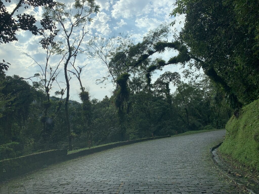
Given its economic importance, until the mid-20th century, it was the only paved road in all of Paraná.
The gate, though not located on the road’s original path, was built in a style inspired by Jesuit missions and is one of the site’s postcard images, making access easier from the BR-116.
Caminho dos Jesuítas
Also known as the colonial road of Graciosa, this is the only original stretch of Estrada da Graciosa, still paved with the stones laid by enslaved workers.
Just as Indigenous peoples had before them, the Portuguese began using this stretch too, drawn by the Casa de Pedra.
Estrada da Graciosa Today
As soon as you arrive, you’re greeted by its impressive gate, one of the site’s postcard images. Built in a style characteristic of Jesuit missions, it’s a popular photo stop for visitors.
First, you’ll come across winding curves, old wayside shrines, and century-old bridges built between the late 19th and mid-20th centuries, like Ponte do Arco and the bridge over the Rio Taquari, marking the start of the Serra do Mar Environmental Protection Area, found on your right as you descend the mountain.
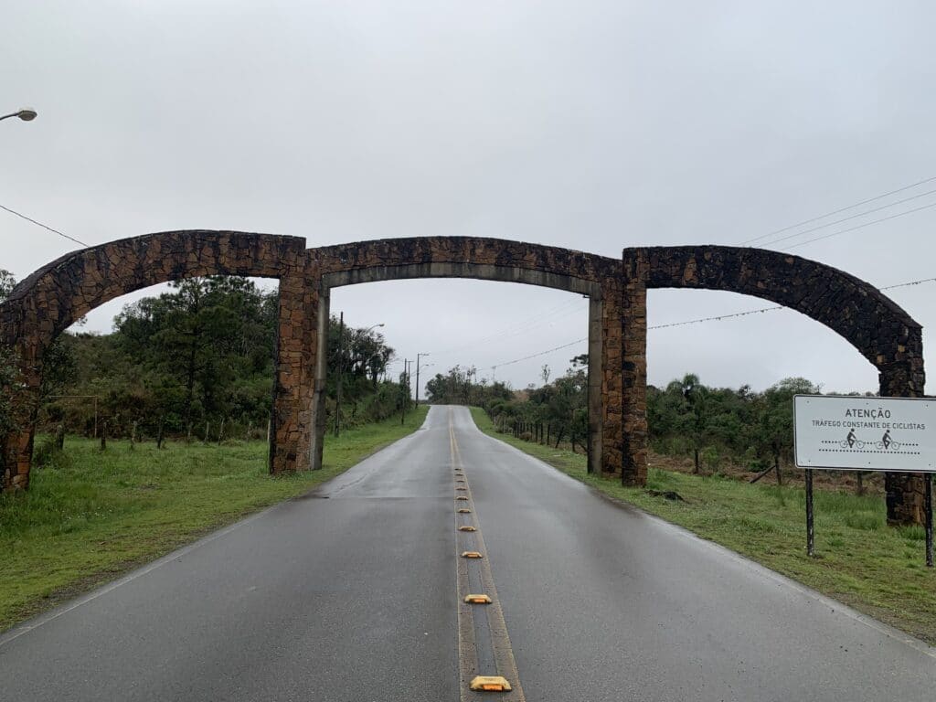
All along the route, through stretches of Atlantic Forest, there are kiosks selling fresh sugarcane juice and freshly fried pastéis. There are also seven rest areas with grills, restrooms, and leisure spots along the road.
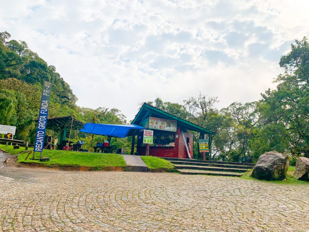
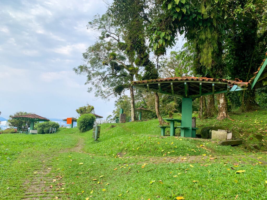
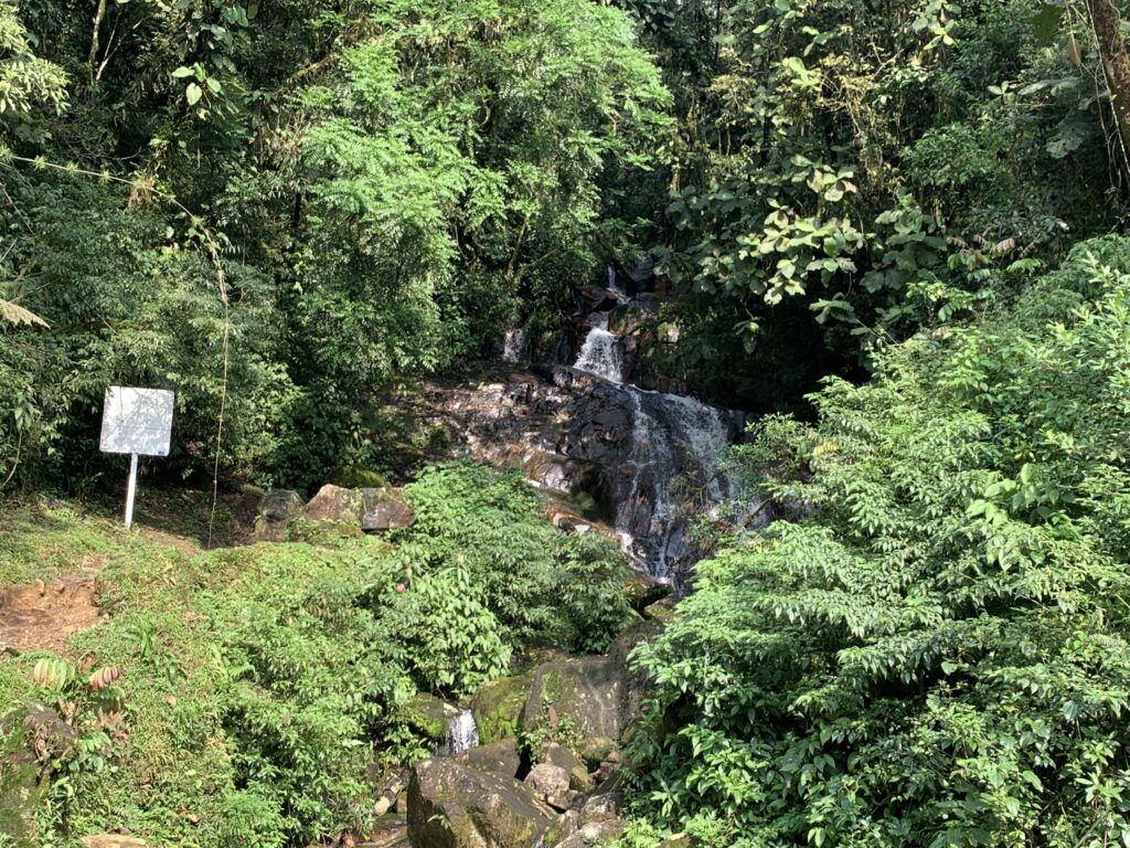
Near a few of these rest areas, there are hidden waterfalls — we found one at the first stop, Recanto Rio Cascata, and there are others at Recanto Curva da Ferradura, where a trail leads down to two waterfall options: heading right, at the end of the shorter path, there’s a larger one; heading left, continuing the descent, there’s another.
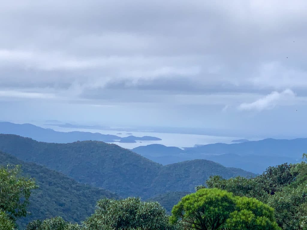
We stopped along the mountain at Mirante Engenheiro Lacerda, which offers a beautiful view all the way to Porto de Paranaguá. From there, we could also spot Pico do Paraná, the tallest mountain in southern Brazil.
Notes on the Serra da Graciosa
Along the road, hundreds of hydrangea bushes make the drive even more charming. They’re beautiful flowers, but there’s a season for seeing them in bloom, from November through March.
The speed limit ranges from 40 to 60 km/h, and trucks and buses aren’t allowed on the road.
Along the route, passing isn’t possible, since the curves are tight and the pavement is cobblestone.
Drive carefully, since the road has plenty of curves. It’s also prone to fog and rain, so if you’re driving yourself, stay alert!
Learn more about our trip in What to Do in Morretes and also Ekôa Park (in Portuguese), a park located along the road.
Read the original version in Portuguese on A Bela e o Bigode.