São José do Barreiro and the Serra da Bocaina
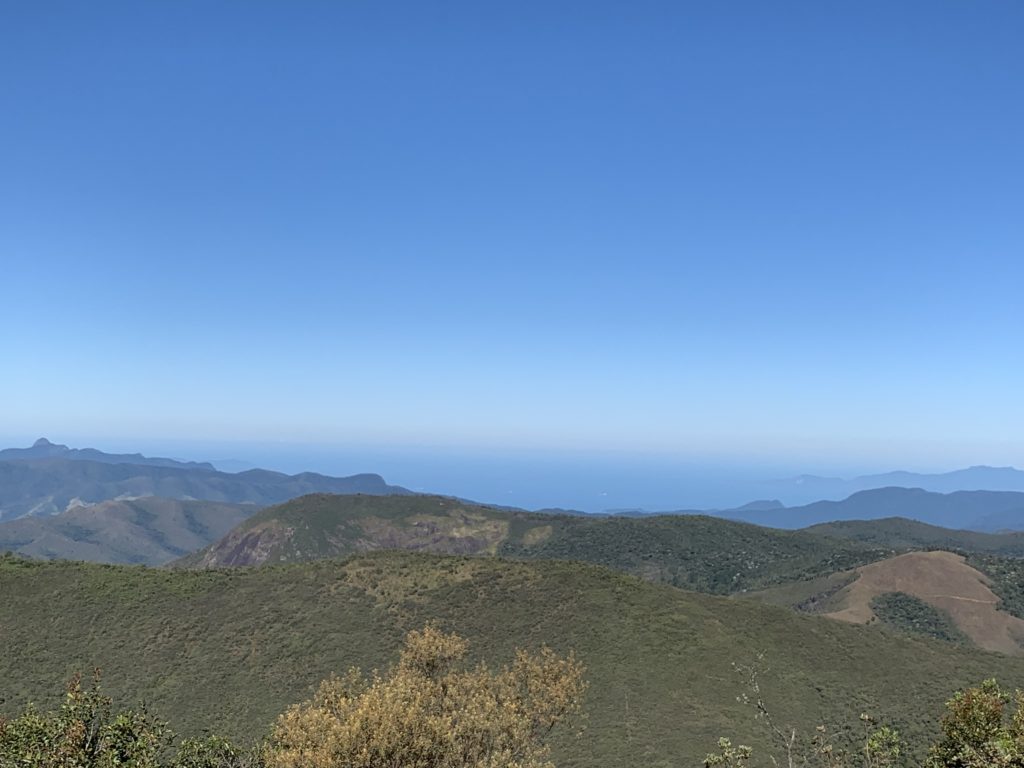
The Serra da Bocaina spans 1,040 square kilometers, straddling the border between São Paulo and Rio de Janeiro states — while we were staying in Penedo, we spotted it on a map and realized it wasn’t too far, so we headed out to explore the area, about a 2-hour drive to the town of São José do Barreiro.
We decided to visit two attractions: Morro do Tira Chapéu and Cachoeira Santo Isidro, the latter located inside Serra da Bocaina National Park, famous as part of the Trilha do Ouro (Gold Trail), which connects São José do Barreiro to Angra dos Reis.
Between the town and the road leading to the park, there are several lookouts with stunning views. Even though we saw regular cars along the way, we’d strongly recommend a tall 4x4 vehicle. The view keeps shifting as you go, sometimes just a higher vantage of the same scenery, but it’s beautiful and interesting throughout.
To reach the park entrance, we took Rodovia Francisca Mendes Ribeiro (SP-221), known locally as either the Estrada da Bocaina or the Estrada do Parque. It takes about 1 hour to cover the 27 km of rough road, alternating between dirt and pavement.
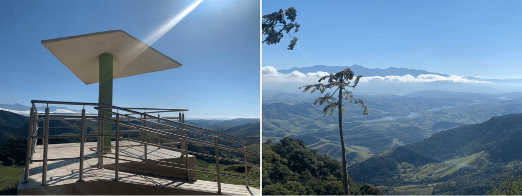
Pico do Tira Chapéu
Finding the trailhead is confusing. We researched it on Wikiloc and Garmin, and our planned starting point was a roadside chapel, but we ended up following directions from a cyclist we ran into instead, heading to Casa de Pedra, and about 500 meters further, parking at Fazenda Pinheirinho.
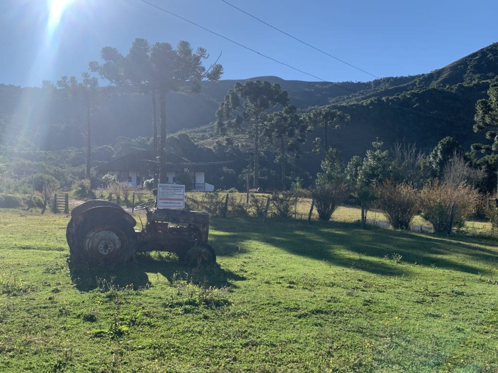
From there, we were told to continue down the road, and the trail started “right after the cattle grid.” We didn’t have the exact distance, but after a fair amount of confusion, we reached the cattle grid and spotted the trailhead on the left side of the road. The cattle grid sits about 2 km from the farmhouse. It’s best to leave your car at Fazenda Pinheirinho, since there’s no room to park at the cattle grid, and leaving a car on the road isn’t safe.
Along the trail, we climbed alongside the barbed-wire fence of the same private property where we’d parked, moving at a fairly slow pace, since the climb is quite steep. This fence runs along the main trail toward Tira Chapéu. Once you reach the peak, the view is breathtaking. On one side, you can see Pedra da Mina, Pico do Picu (in Itamonte), and Itatiaia National Park, and even Pedra Selada, in Visconde de Mauá. On the other side, you get a view of the Bay of Angra dos Reis, where we could even make out anchored ships. It’s one of the most beautiful views we’ve seen, second only to Saco do Mamanguá.
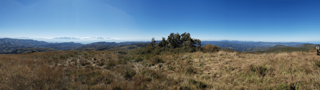
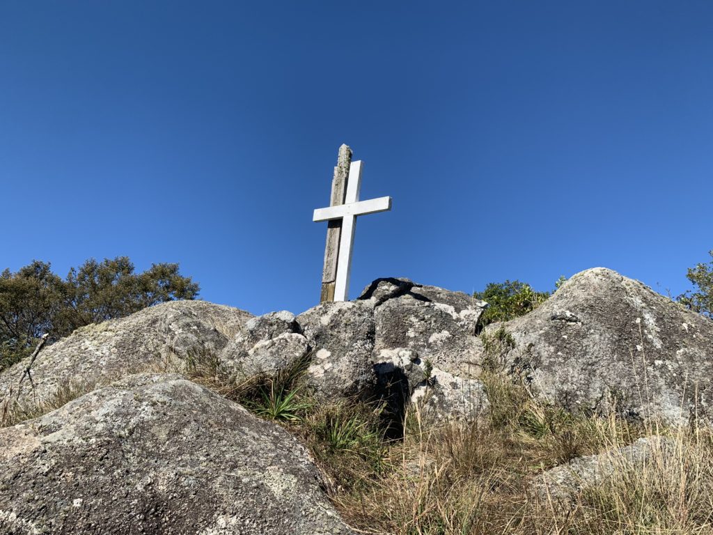
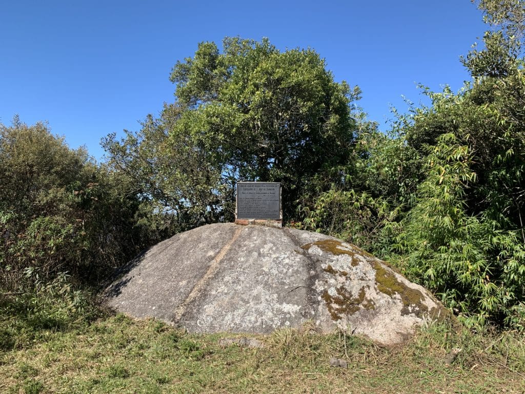
You’ll know you’ve arrived when you spot a cross and a sign at the top of the hill, along with, of course, the view we just described.
The Return Trip from Pico do Tira Chapéu
The descent followed our originally planned route, passing Morro da Boa Vista, mostly downhill, reaching another dirt road right after crossing a small patch of woods. From there, we followed the road around and made it back to Fazenda Pinheirinho.
Our original plan was actually to start and end on that same road, but based on the directions we’d been given, we ended up going via Fazenda Pinheirinho instead. Apparently, our original planned route would have been simpler.
Track powered by Wikiloc
Cachoeira de Santo Isidro
Cachoeira de Santo Isidro is located inside Serra da Bocaina National Park, one of the largest remaining stretches of Atlantic Forest in Brazil, spanning 104,000 hectares across both São Paulo and Rio de Janeiro states. Admission is free.
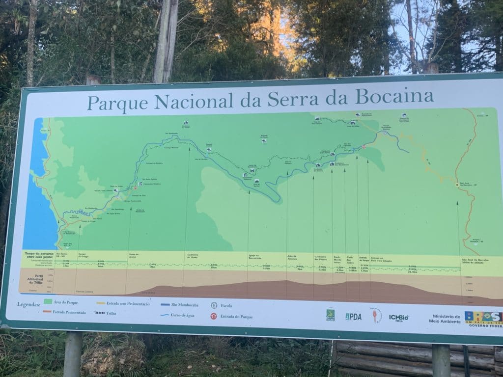
The waterfall sits along a trail about 1.5 km one-way, the closest one to the park’s entrance gate, well marked, so no guide is needed. It drops 50 meters, forming a large pool below with a sandy bottom, ideal for swimming.
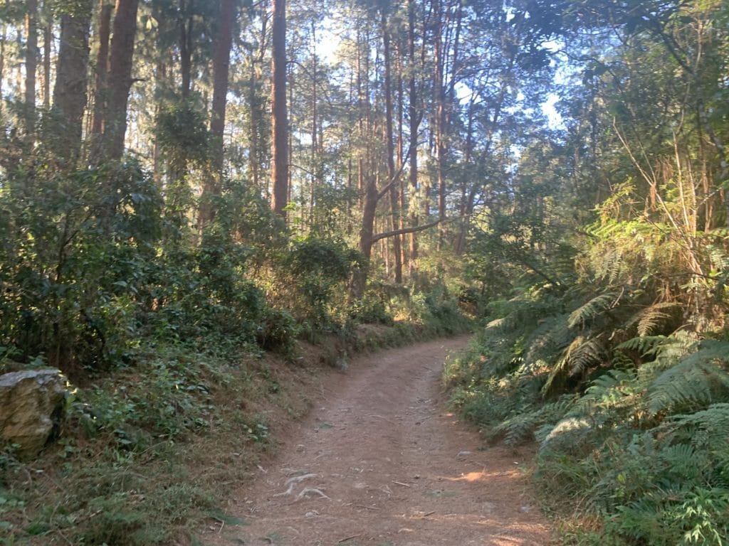
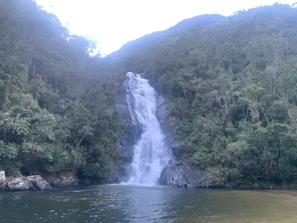
Just be careful — on the way there, you’ll cross a river, though you don’t actually need to cross it or get your shoes wet, since there’s a bridge marked with an arrow for the Trilha do Ouro that lets you go around and stay dry.
There are other waterfalls in the park, but they were much farther away and we were already running low on time — Carol has done the full Trilha do Ouro crossing herself and says it’s a genuinely beautiful route, well worth doing. Just watch out on the second half of the crossing, where there’s a lot of soapstone, which can be slippery.
Track powered by Wikiloc
Read more about our trip in Serrinha do Alambari.
Read the original version in Portuguese on A Bela e o Bigode.