São Francisco Xavier: Trails and Waterfalls
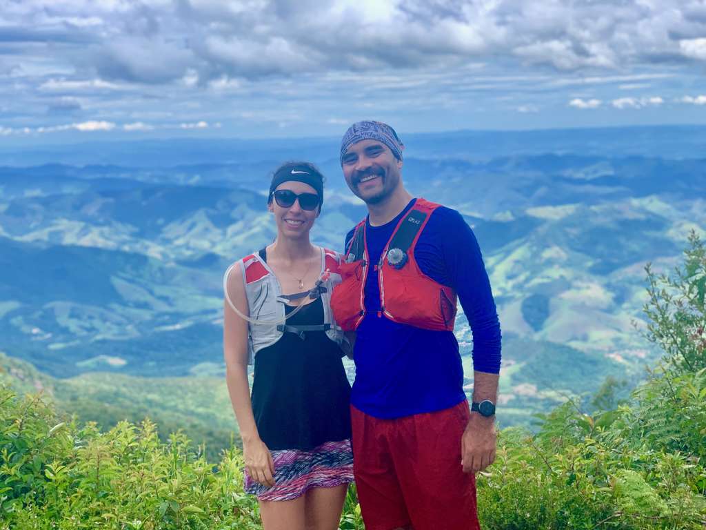
São Francisco Xavier is a district of São José dos Campos, with plenty of trails — one of them even connects all the way to Monte Verde, though that destination is technically already in Minas Gerais! We hiked the individual trails and saved the full traverse for another trip, but the two towns are neighbors! We didn’t use a guide for any of these trails, just websites we found online.
One thing to know upfront: the trails are pretty spread out, even though the town itself is small! So get an early start!
Getting to São Francisco Xavier from São Paulo
- Take the Presidente Dutra highway (BR-116) to the city of São José dos Campos (about 87 km).
- At the km 152 exit, follow signs toward Monteiro Lobato (well marked throughout town), then take the Monteiro Lobato highway (SP-050).
- In Monteiro Lobato, follow the signs to São Francisco Xavier.
It’s only 149 km, but it takes a slow 2 hours and 30 minutes because of the mountain climb and all the curves.
See the route on Google Maps.
Where to stay in São Francisco Xavier
We stayed at Hospedaria da Yolanda — there aren’t many options downtown, and honestly, this one wasn’t great: small room, and a leak over the sink that soaked all of Andrey’s luggage.
The upside was the coffee, made at a bakery on the central square called Padaria Vale Verde, run by Dona Rita, who partners with several hotels to provide breakfast. We really liked the coffee and the whole system they had going!
What to do in São Francisco Xavier
Pico da Onça
- Moderate trail difficulty
- 10 km round trip
- 796 m of elevation gain
- Free parking and entry
- Located on the Trilha dos Muriquis
- You can continue the traverse to Monte Verde through the park
Lots of climbing, but the view from the top is incredible! Be careful, though — access isn’t obvious, it’s not on Waze, and locals don’t always have much information about the area.
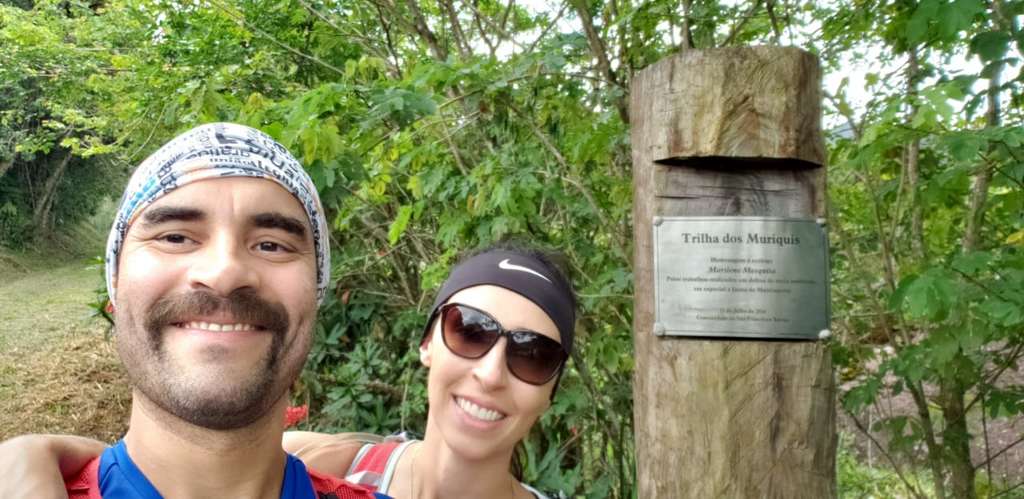
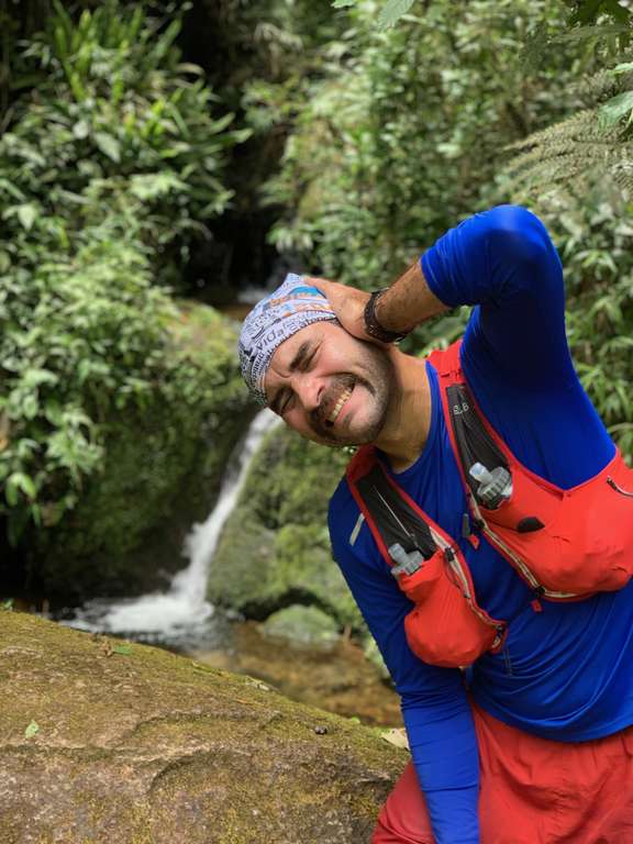
The climb is steep, but there’s a flat stretch and a small waterfall along the way — a great photo spot, and since Andrey loves finding creative shots, we got some really good ones!
At the top, we found people camping. Andrey thought he’d been there before, since he’d hiked the mountains around Monte Verde, and he also mentioned a forest nearby that he’d really liked.
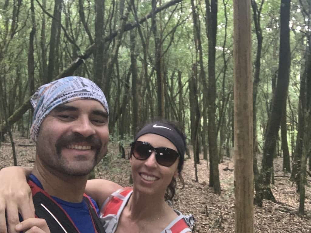
We looked it up and found Bosque dos Duendes (“Forest of the Elves”). We loved the view from Pico da Onça, but Bosque dos Duendes was the real surprise! It’s a 1 km detour off the main trail, and it genuinely feels like a scene out of an old war movie!
Download the GPX file for the Pico da Onça and Bosque dos Duendes trails.
Track powered by Wikiloc
From there, we headed straight to Pouso do Rochedo.
Pouso do Rochedo
- Moderate trail difficulty
- 6 km total
- Altitude: 560 meters
- Private property, R$30 per person
- Free parking
- 4 trails, 4 lookouts, and 8 waterfalls
A dog joined us for more than half the hike — that happens sometimes out on the trails!
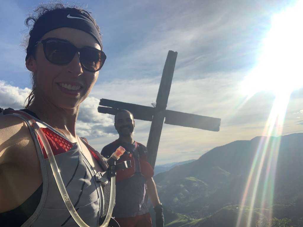
We didn’t have time for lunch, since it gets dark early and we wanted to fit everything in — we’d already done one trail that morning, so we were more tired than usual. We watched the sun start to set from Pico do Cruzeiro, the highest point around, but didn’t stay for the full sunset since we needed the remaining daylight to get back.
Download the GPX file for the Pouso do Rochedo trail in São Francisco Xavier.
Track powered by Wikiloc
Cachoeira Pedro David
- Easy, short trail
- 300 meters from the parking area to the waterfall
- Free entry
- Parking: R$10
- Good for swimming
We went the same day, still without lunch, since it’s very close to downtown. It was cold when we got there, so we skipped getting in the water — and we were hungry too! Worth visiting earlier in the day when it’s warmer.
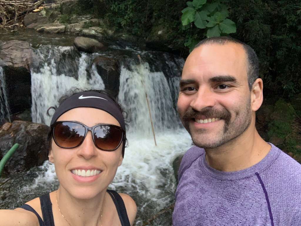
From there, we headed downtown for lunch.
Pedra Queixo d’Anta
- Hard trail difficulty
- 6 km total
- 637 m of elevation gain
- Private property, R$15 per person
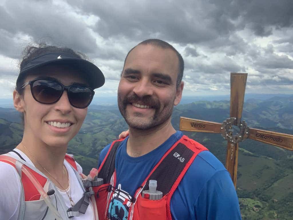
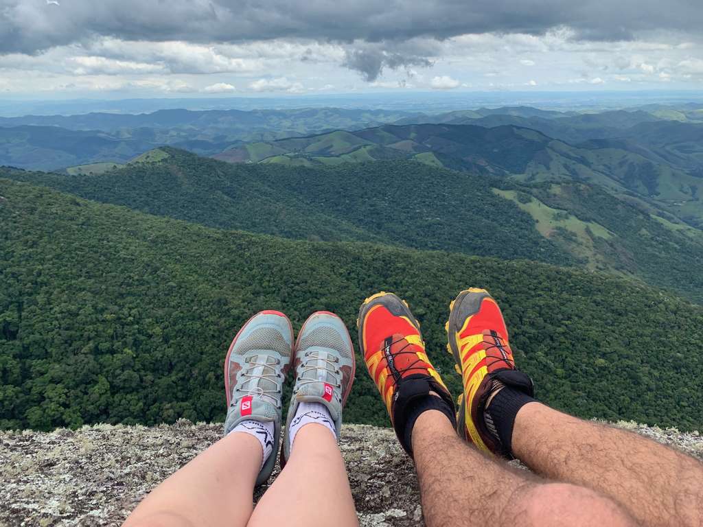
This was our first trail on Sunday, on a property owned by Dona Ricardina — she and her husband were both incredibly friendly, and they keep the trail cleared for visitors. It’s easy to find with Waze.
Unexpectedly, there’s a technical section where you need a rope to climb and descend a very slick rock face! We rushed the way back because rain was forecast — and sure enough, we got caught in a downpour right at the end!
Dona Ricardina let us shower at her house, and her husband offered us grapes from their own garden! They were delicious!
Download the GPX file for the Focinho D’Anta trail in São Francisco Xavier.
Track powered by Wikiloc
Mirante São Francisco Xavier and Pedra do Porquinho
- Easy trail
- Free parking and entry
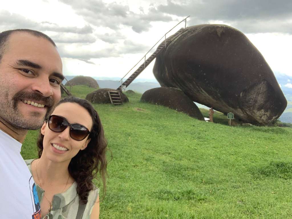
Last but not least, we went to see what everyone considers the town’s symbol: Pedra do Porquinho! Unlike the other spots, it’s quite far from town, and the road there has signs telling the story of Jesus along the way.
We drove slowly because of the curves and road conditions — and, of course, to read the signs! The lookout point was empty when we visited. One important note: there are a lot of mosquitoes, especially up on the rock itself, so bring repellent! But the view is really cool, even though the area feels a bit neglected.
Where to eat in São Francisco Xavier
Deck Restobar
- À la carte restaurant
- Contemporary cuisine
- Great value
- Generous portions
We combined lunch and dinner into one meal on Saturday and chose Deck Restobar — we loved it, the food was delicious, and the price was more than fair.
We turned in early, since we wanted to start another run the next day!
We didn’t end up eating in town again — we headed straight back to São Paulo — so we don’t have any more restaurant recommendations from this trip.
Note: all stats here come from the Garmin Fenix 5S I was wearing on the trails, so numbers may vary slightly from other sources!
Read more about our trips in Ilhabela.
Read the original version in Portuguese on A Bela e o Bigode.