Pico Araçatuba, Near Curitiba
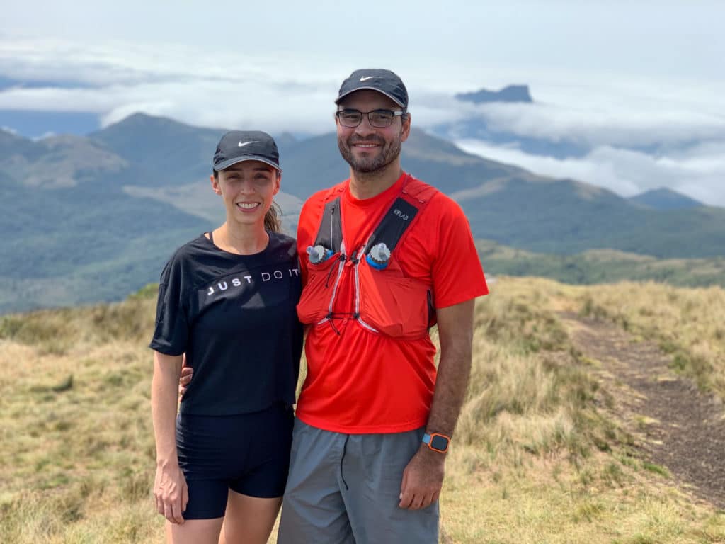
Before we get into Pico Araçatuba (TripAdvisor), we want to share a few fun facts about the trail and its location.
At 1,680 meters, it’s the highest peak in southeastern Paraná, and also the coldest in winter, when its slopes can occasionally frost over.
We’ve heard both sunrise and sunset here are beautiful, but since it was an overcast day for us, we weren’t able to catch either.
- Difficulty: medium.
- Distance: 7.5 km (round trip).
- Elevation gain: 758 m.
- Elevation: 1,680 meters above sea level.
- Located in Tijucas do Sul, southwestern Paraná.
- View: Baía de Guaratuba and a stretch of the Santa Catarina coastline from the summit.
Getting to Pico Araçatuba
To get there, follow the BR-376, then take the exit marked Matulão, onto a dirt road — from there, just continue straight to the parking lot, which costs R$15 for the car, with restrooms and showers available.
It’s 66 km by car, taking about 1 hour 15 minutes to reach the parking lot.
About the Trail
To start, the trail begins right on the same property, after crossing a gate and a small bridge over a stream, then following the signs marked with red arrows.
The vegetation is open, 100% high-altitude grassland, unlike other famous peaks like Pico do Paraná, where the trail runs through dense Atlantic Forest.
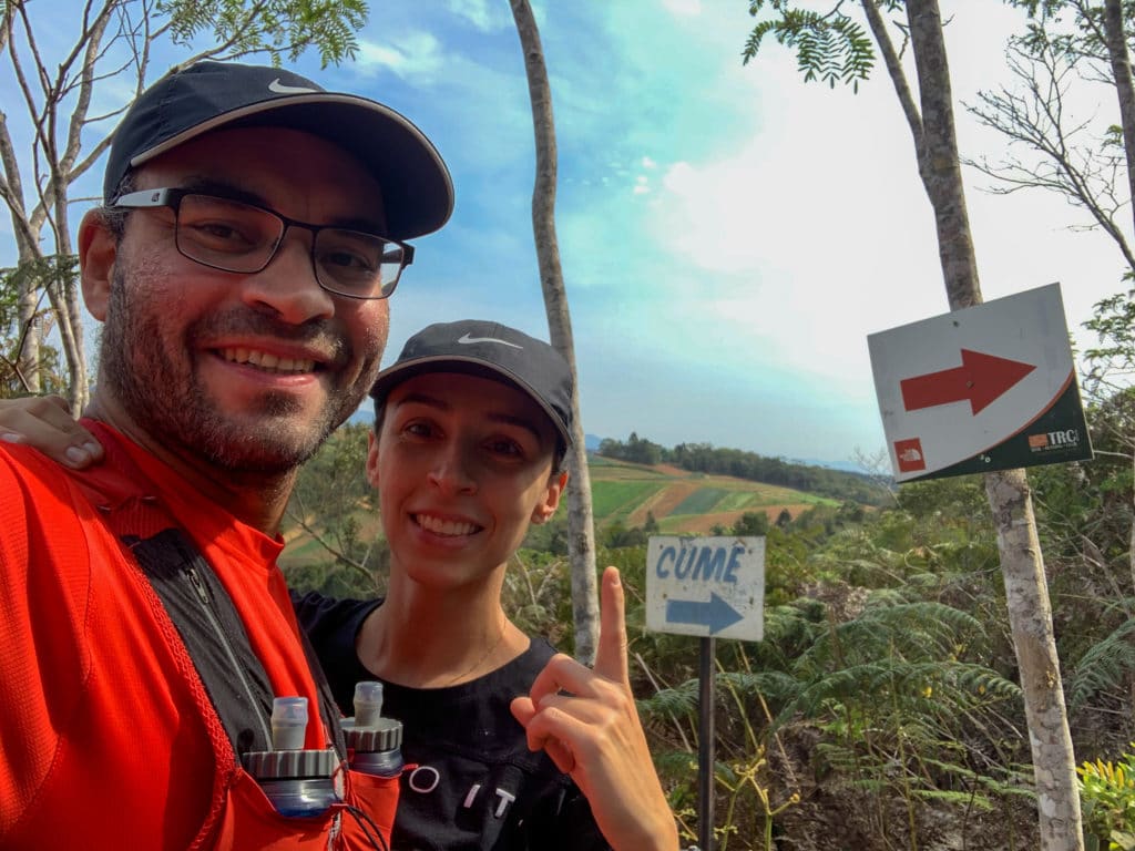
We did this hike on a Sunday, and I thought it was a great mountain for running, since the vegetation is low, the terrain open, and the path well cleared for hikers.
The trail is well marked, with signs, totems, and yellow ribbons, making it genuinely hard to get lost. We also saw very little trash along the way, which is great, though unfortunately not always the case.
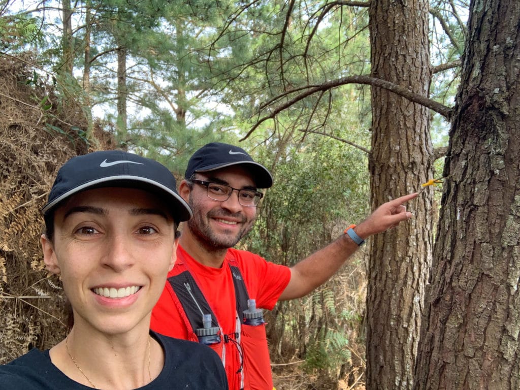
Between the steep climbs and technical descents, with some risk of slipping, we’d rate this a medium-difficulty trail, though the path itself is easy to follow visually.
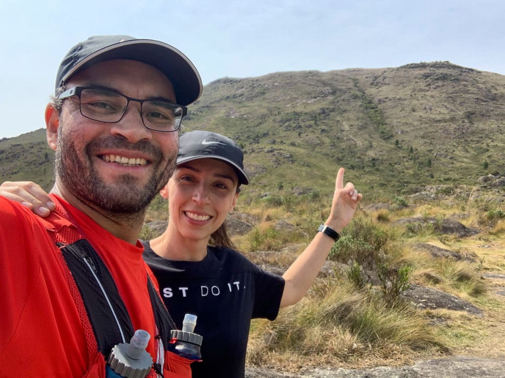
Above all, the effort is always worth it for the wonderful views over the region. It was a bit overcast for us, which made it feel almost like we were walking through the clouds.
And once you’re up there, don’t forget to sign the summit log and leave your own message on the mountain.
Download the GPX for Morro Araçatuba.
Track powered by Wikiloc
Learn more about our trip in Balsa Nova.
Read the original version in Portuguese on A Bela e o Bigode.