Campo do Muro Trail and Pico da Casa de Pedra
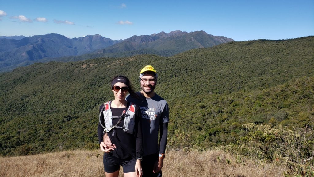
Passa Quatro had to be where we returned to run, since it’s the site of our first trip together and a town surrounded by mountains. This time we went to get away from it all and explore the Trilha do Campo do Muro and Pico da Casa de Pedra.
Getting to Passa Quatro from São Paulo
From São Paulo:
- Take the Presidente Dutra highway to the Cruzeiro exit, then SP-052 (Dr. Avelino Júnior) to Passa Quatro — Google Maps route
- Ayrton Senna + Carvalho Pinto + Dutra highways — Google Maps route
Pros and cons:
- Dutra (244 km / 3h55m) — fewer lanes, more trucks, fewer tolls.
- Ayrton Senna (252 km / 3h36m) — more lanes, fewer trucks, more tolls; similar time and distance overall.
What we chose: We took the Dutra and made the trip in 4h30m, including traffic and one stop.
Where to stay in Passa Quatro
As we’ve mentioned before, we love staying at the famous “Casa de Pedra,” officially named Hostel Inti Raymi. We love Charles and his hospitality, and this time we even lit a bonfire to keep warm — both trails we hiked start right from Casa de Pedra, already sitting at 1,800 meters of altitude.
Charles is a fantastic host, cook, and trail guide all in one, which makes this a great place to stay and disconnect while soaking in nature.
We’re covering two new trails here that we hadn’t hiked before — both accessible from Casa de Pedra, and both overgrown, since they hadn’t been used much during quarantine, leaving the vegetation tall and sharp.
Pico da Casa de Pedra
- Moderate trail difficulty
- Total distance: 4.29 km round trip, starting from Casa de Pedra
- Elevation gain: 426 m
- Altitude: 2,190 m
- Views: Capim Amarelo, Itaguaré, Marins, and Marinzinho peaks
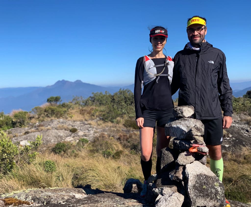
The view is guaranteed — as mentioned, the trail is overgrown with tall vegetation, so wearing pants to avoid getting scratched up is a good idea. You’ll know you’ve reached the summit by the view and by an unusually large marker showing your location.
Download the GPX file for Pico da Casa de Pedra.
Track powered by Wikiloc
Campo do Muro
- Moderate trail difficulty
- Distance: 5.30 km round trip, starting from Casa de Pedra
- Elevation gain: 435 meters
- Altitude: 2,120 m
- Views: Serra do Papagaio to the north; Serra Fina (Pedra da Mina, Pico dos Três Estados) to the east; Marinzinho, Marins, and Itaguaré to the west
We loved hiking this trail — it opens up into a beautiful open field right from the start, and the view genuinely surprised us as maybe the most beautiful in town.
Download the GPX file for Pico do Campo do Muro.
Track powered by Wikiloc
Hope you enjoyed this one — check out more of our tips for the town in our earlier posts on Capim Amarelo and the Serra Fina traverse.
Read the original version in Portuguese on A Bela e o Bigode.